Tag Archives: abandoned Farms

Fall in the Ozarks

I spent a wonderful week in Missouri with the grandkids while their parents were on vacation.  NO adult supervision!!  They kept poor ole granny busy,  getting them to school, cheer, riding lessons, church activities, dentist.  Thankfully everything was written out for me and I didn’t miss anything or forget a child anywhere!

Fall in the Ozarks (actually anytime of the year) is beautiful.

DSC02391

DSC02389

DSC02390

DSC02386

This is a bridge on Historic Route 66 just outside of Spencer MO

DSC02360

DSC02362


DSC02367


Ruins of Post Rock

On our adventure to Denmark, we encountered numerous abandoned homesteads.  It’s sad to see this part of our history in ruins.  I can only imagine what it would have been like out on the prairies of Kansas.  I just received a book titled Sod and Stubble by John Ise.  It’s about a young woman and her family homesteading near Downs, KS in the 1870’s.  I looking forward to reading it.  I’m sure there will be an adventure to that area when I finish the book!

These photos were taken around numerous places between here and there.  Mostly there, in Post Rock Country.

DSC002291DSC02320DSC002337DSC02336

DSC02318

DSC02317

DSC002339

Twin Grove School 1870-1947  Historical Site Lincoln, County, KS

DSC02326DSC02327

I’ve come across numerous cellars and I have not ventured down into any of them.  I really doubt if I ever go into one!

DSC02324


Dunlap, Morris County, KS

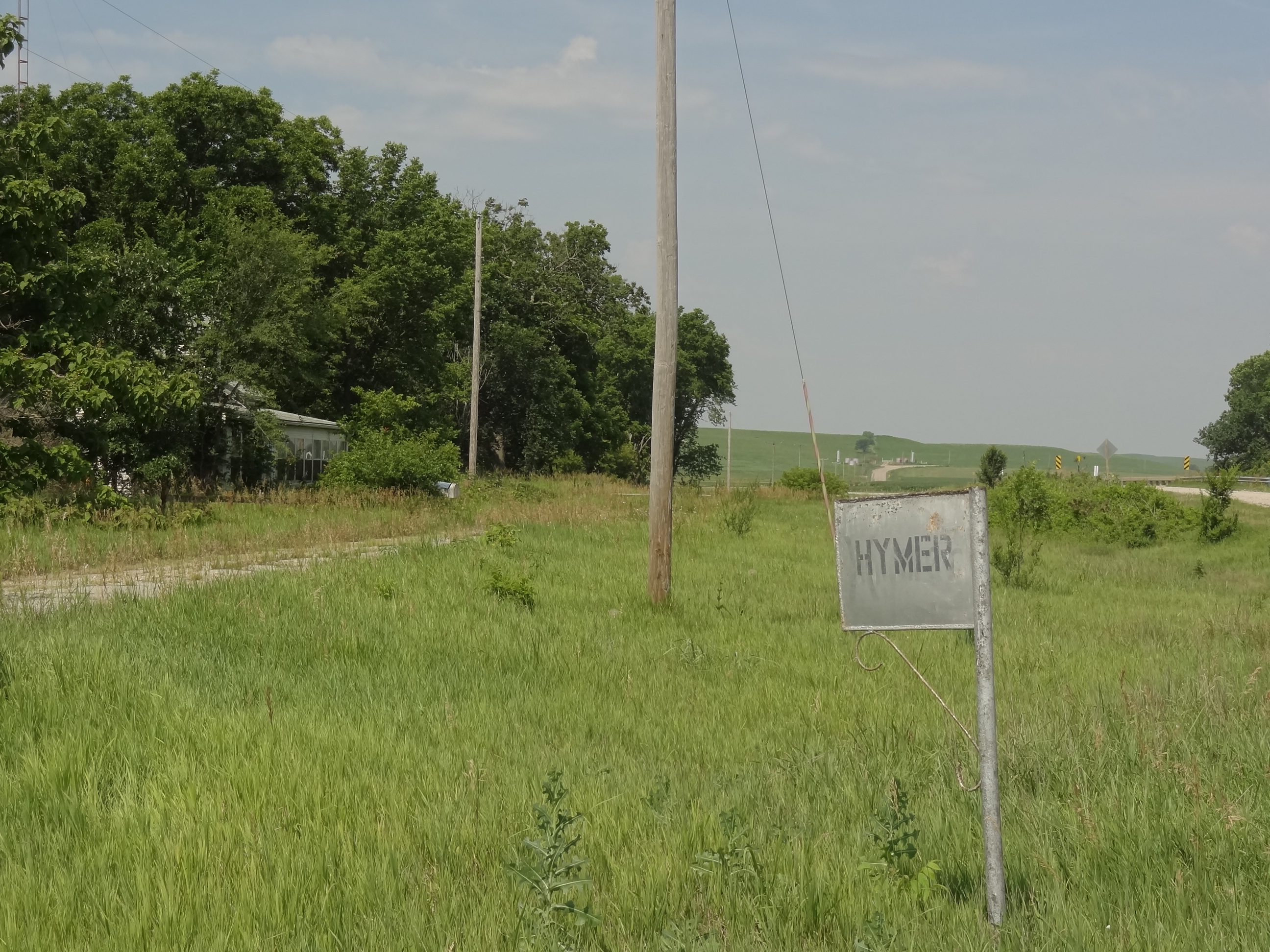
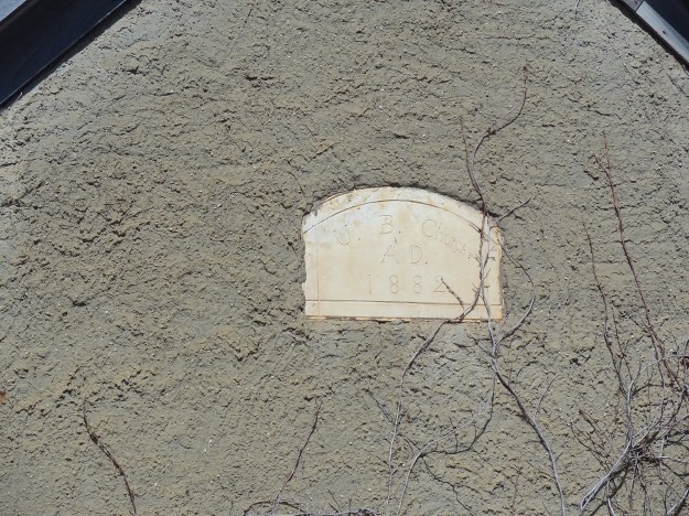
In March of 1874 a post office was established in Hillsborough, the next month it was renamed Dunlap after Joseph Dunlap, an Indian agent for the Kaw tribe.

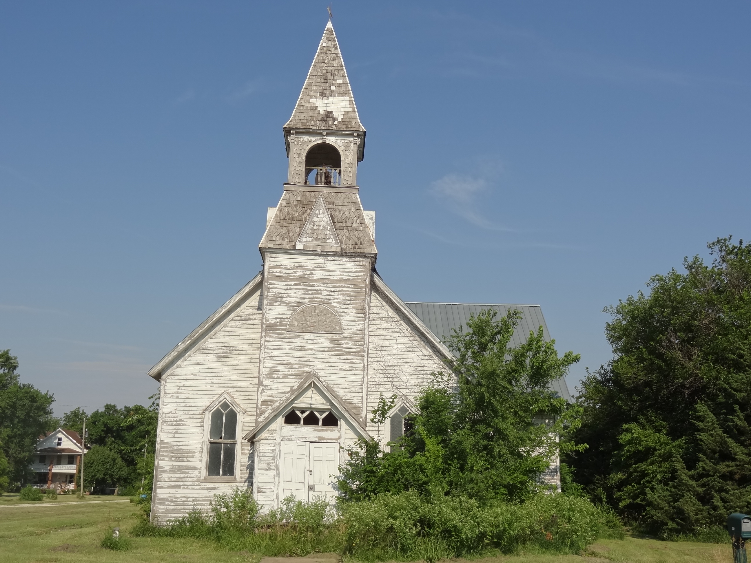
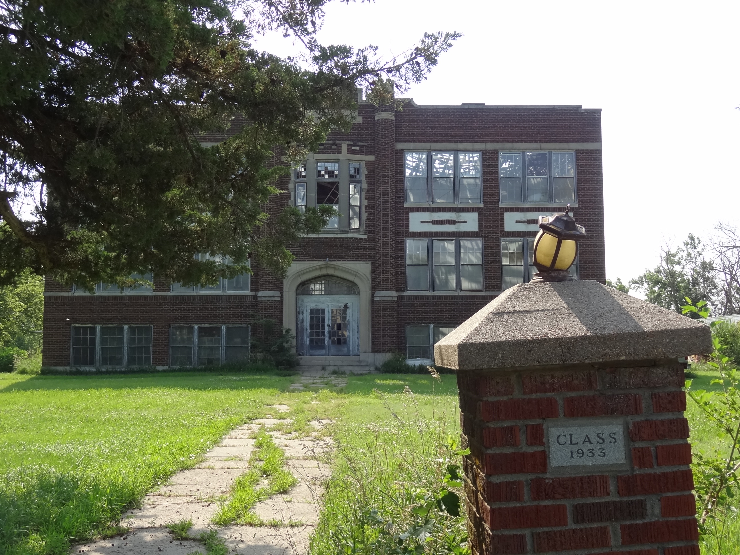
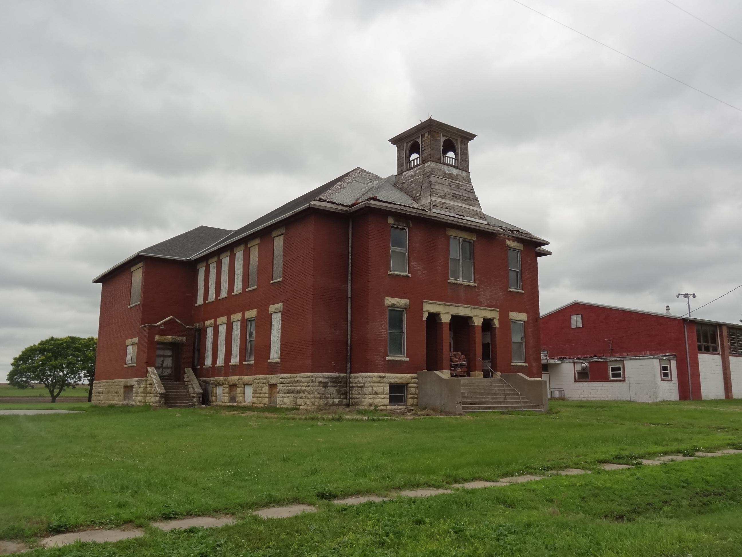
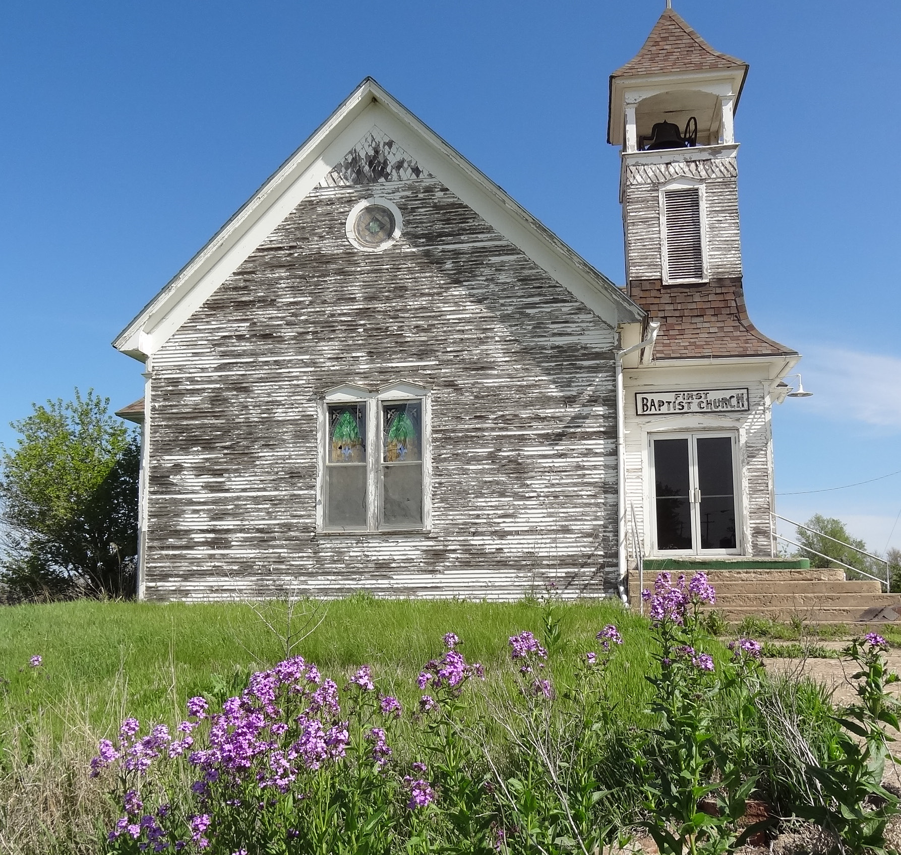
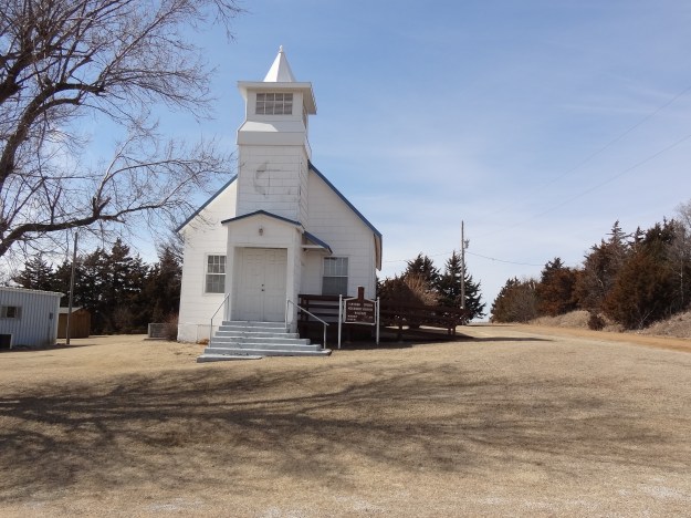
Benjamin “Pap” Singleton chose Dunlap for his second Singleton Colony, as home for freedmen who had come from Tennessee because of available land under the Homestead Act.  Hundreds of Exodusters arrived in Dunlap.  The Presbyterian Church founded the Freedman Academy of KS to provide education to the settlers, however the school closed it’s door in the 1890’s.

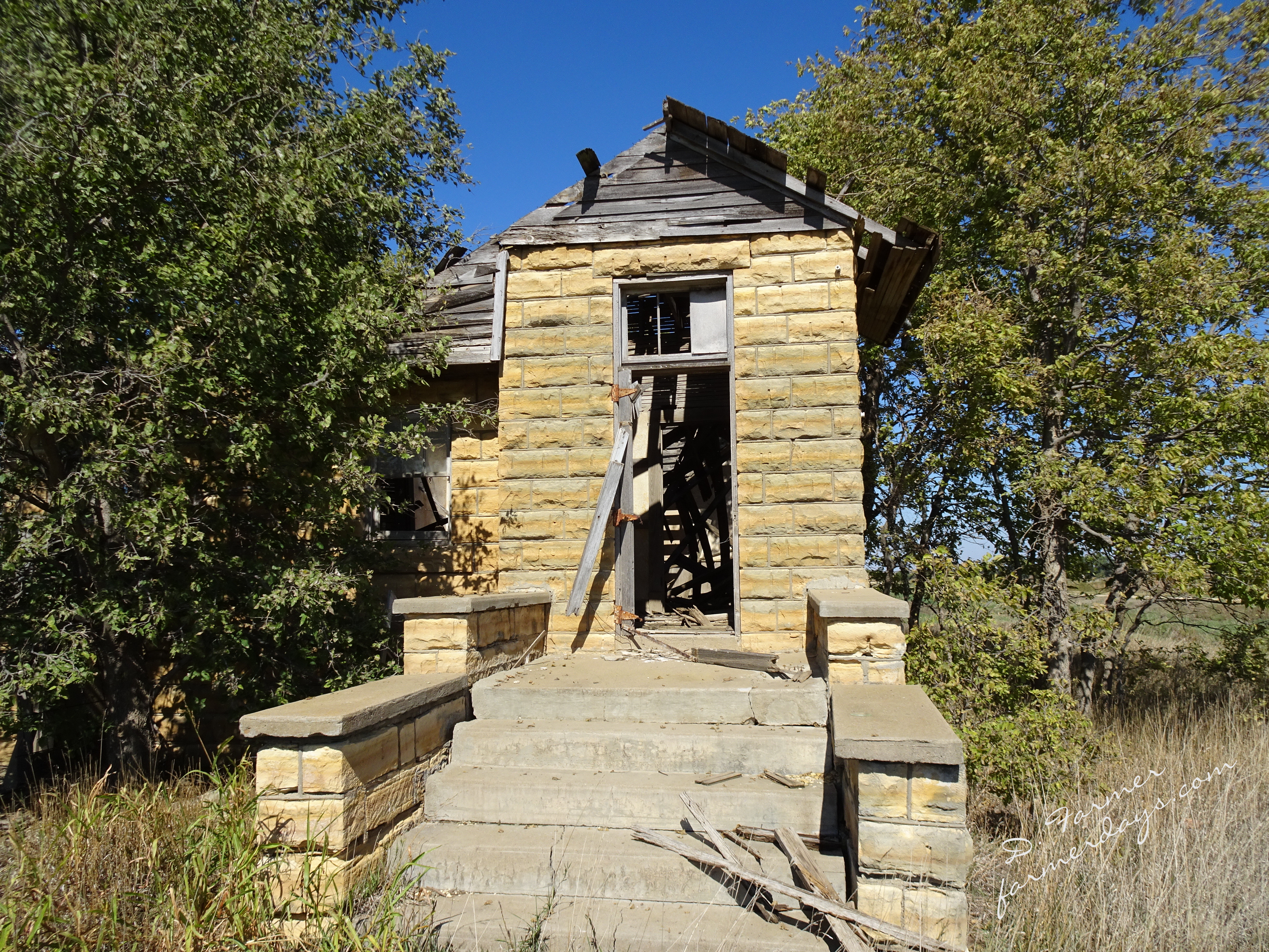
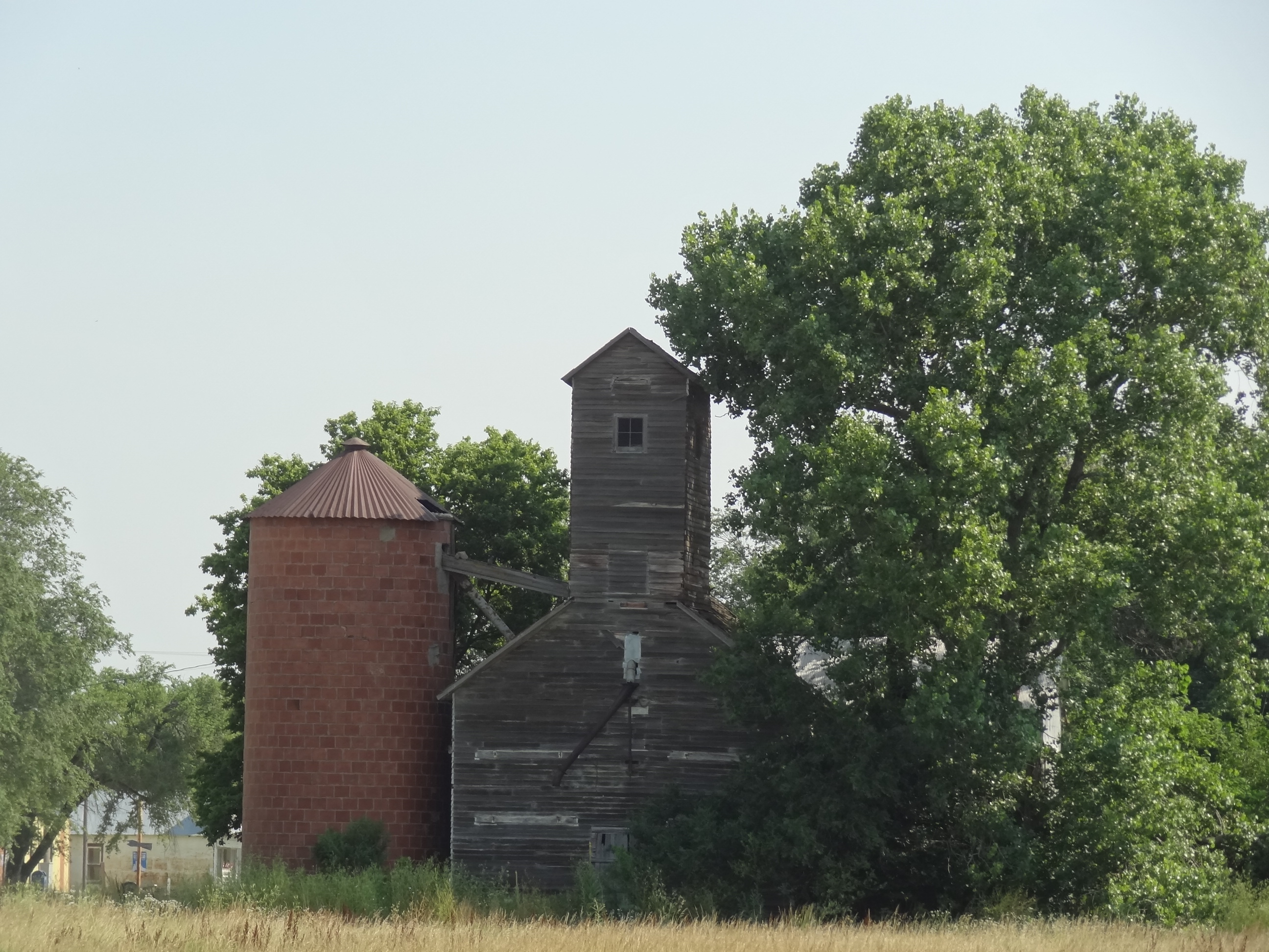
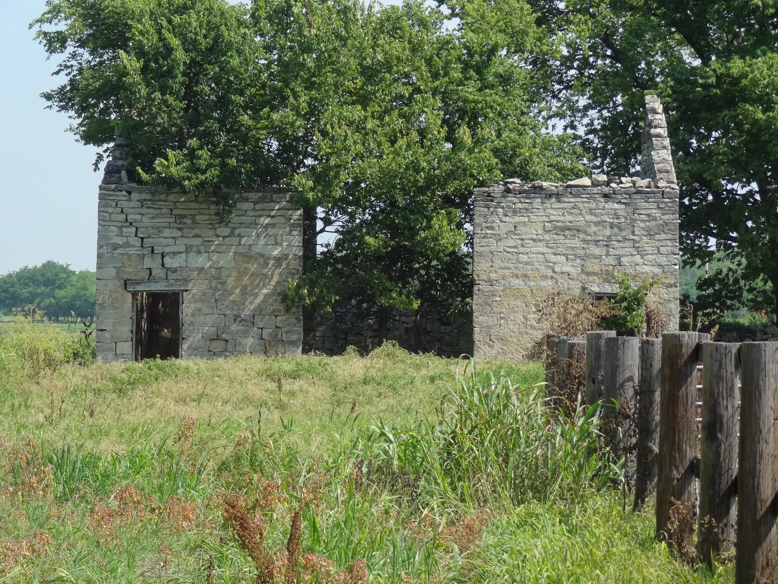
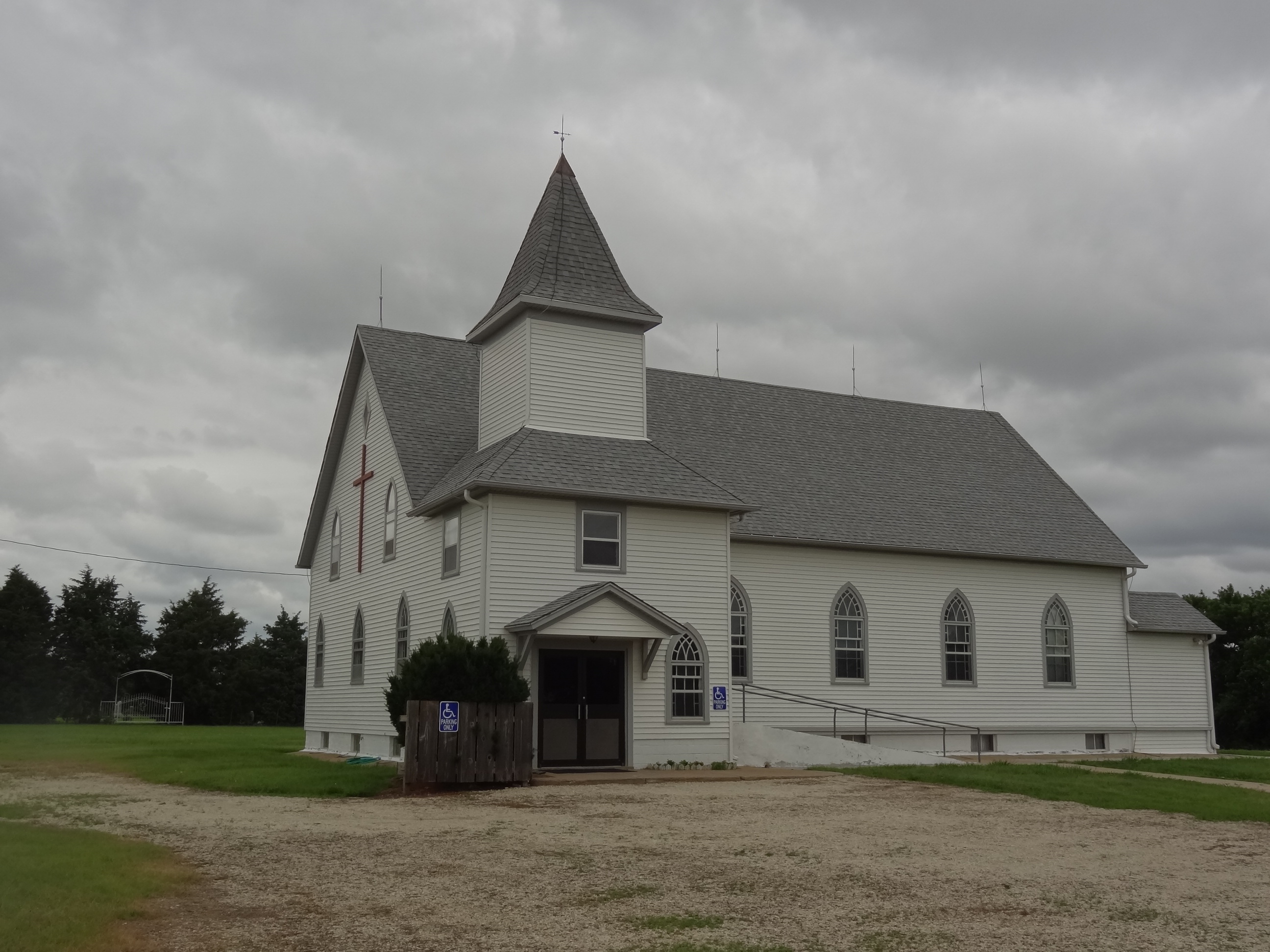
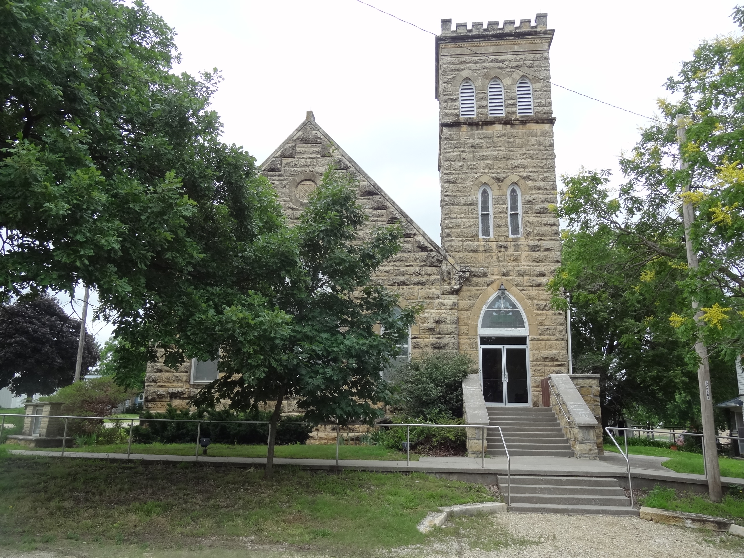
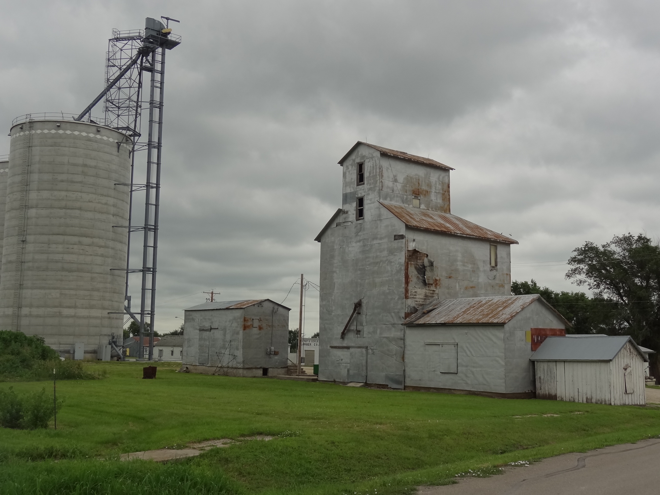
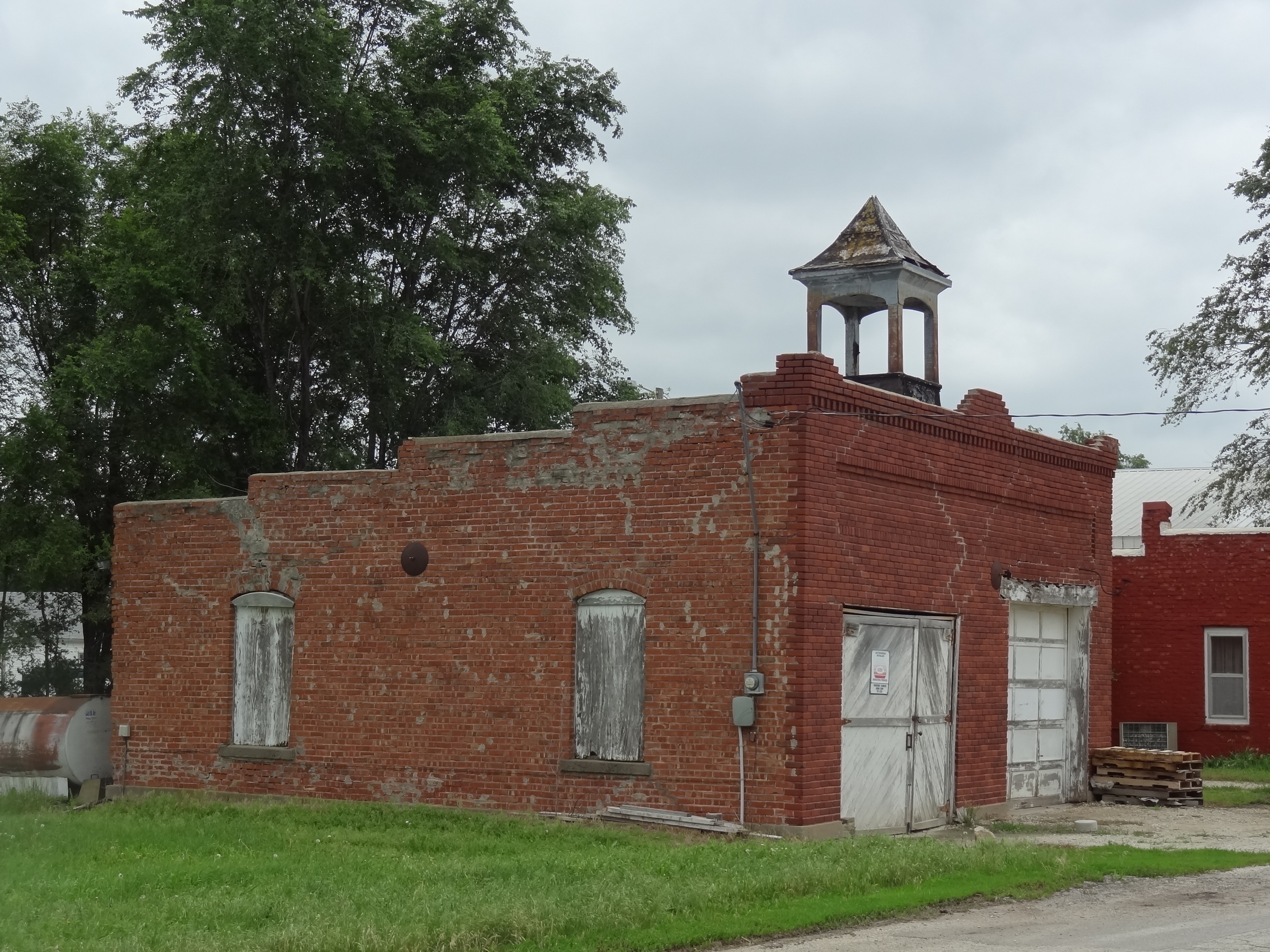
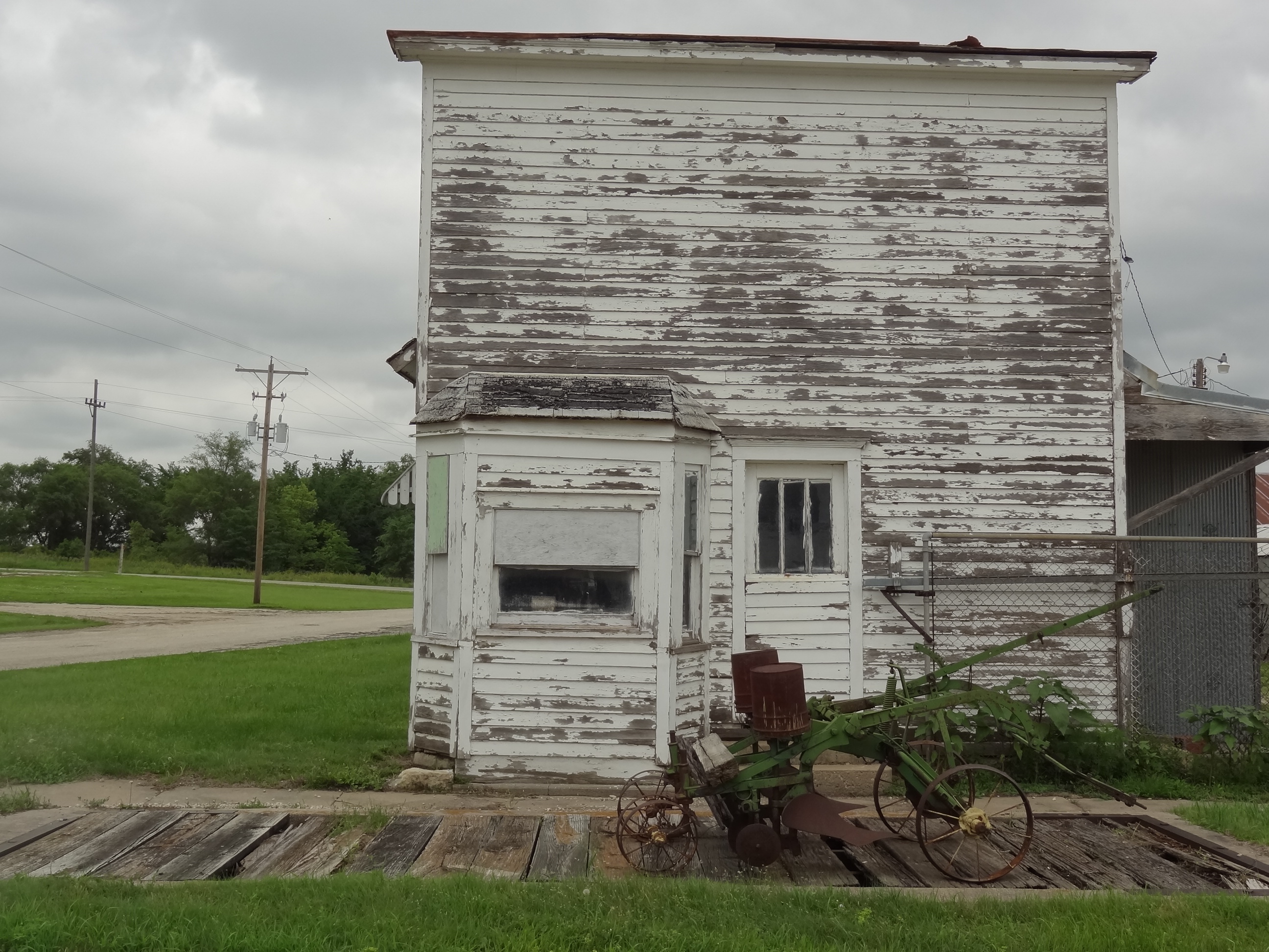
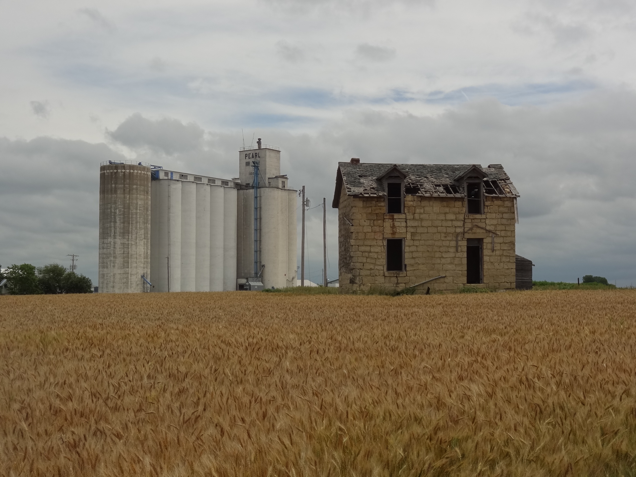
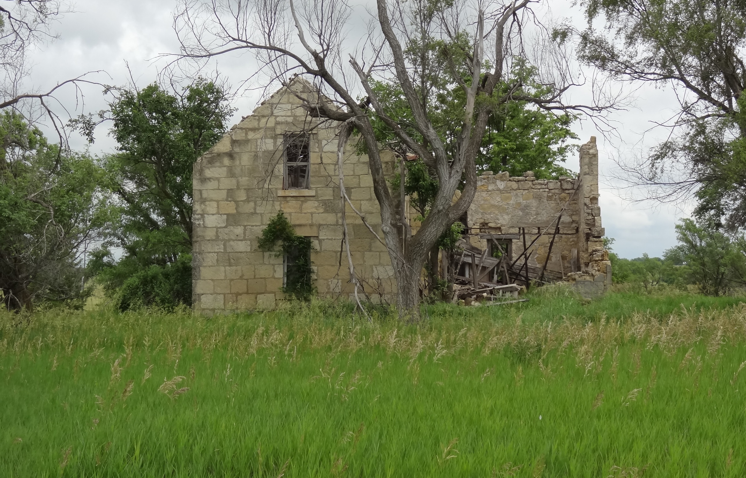
Population in 1910 was over 300, during this time there was a blacksmith shop, hardware, grocery store, ice cream parlor, flour mill, butter and cheese factors, restaurant, bank, hotel, and numerous churches.

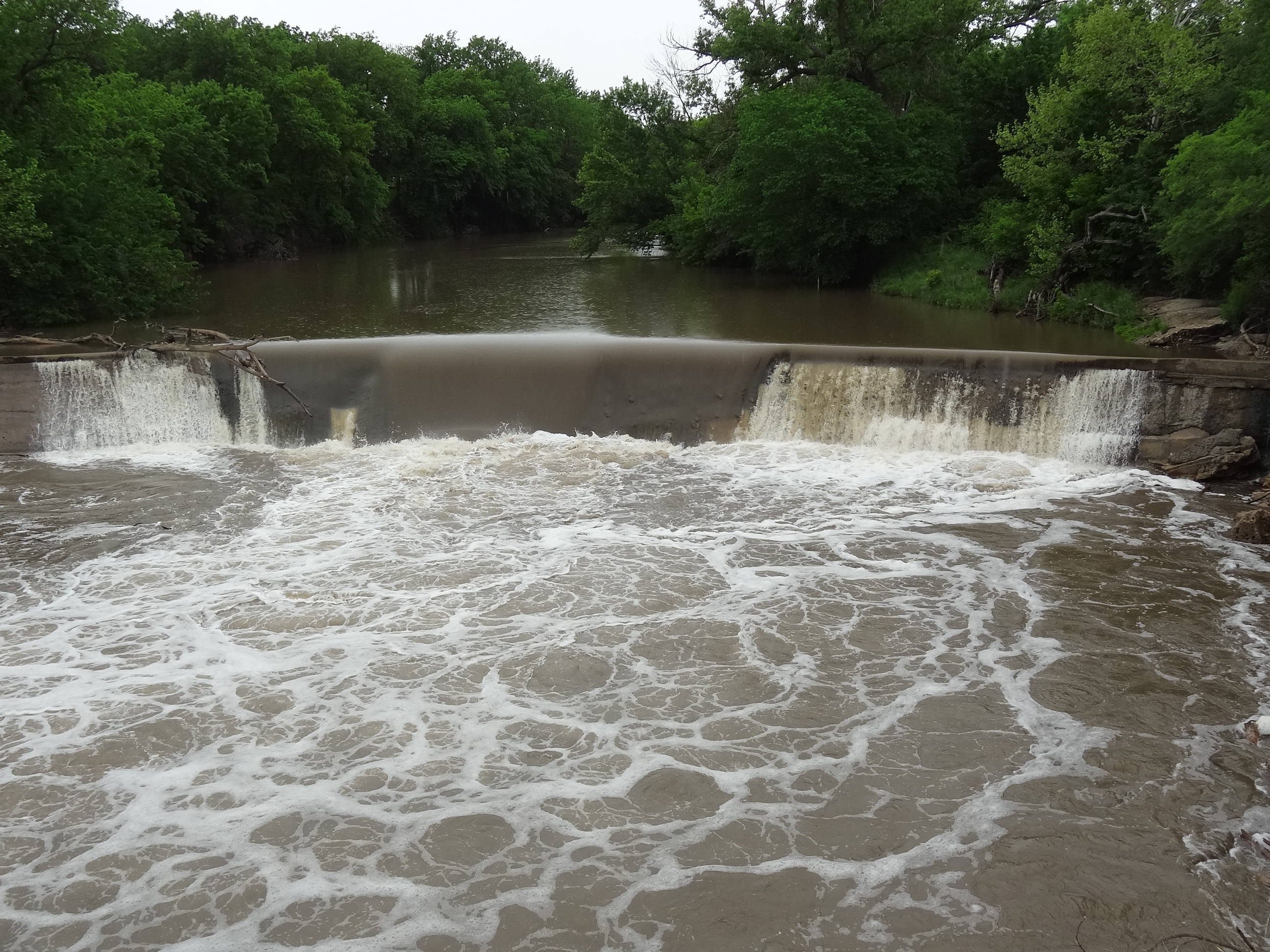
When the exodusters first arrived the white community resented them and they had separate schools, churches and cemeteries.  However by 1930, the white and blacks were no longer segregated and lived together peacefully in the beautiful Neosho River Valley.

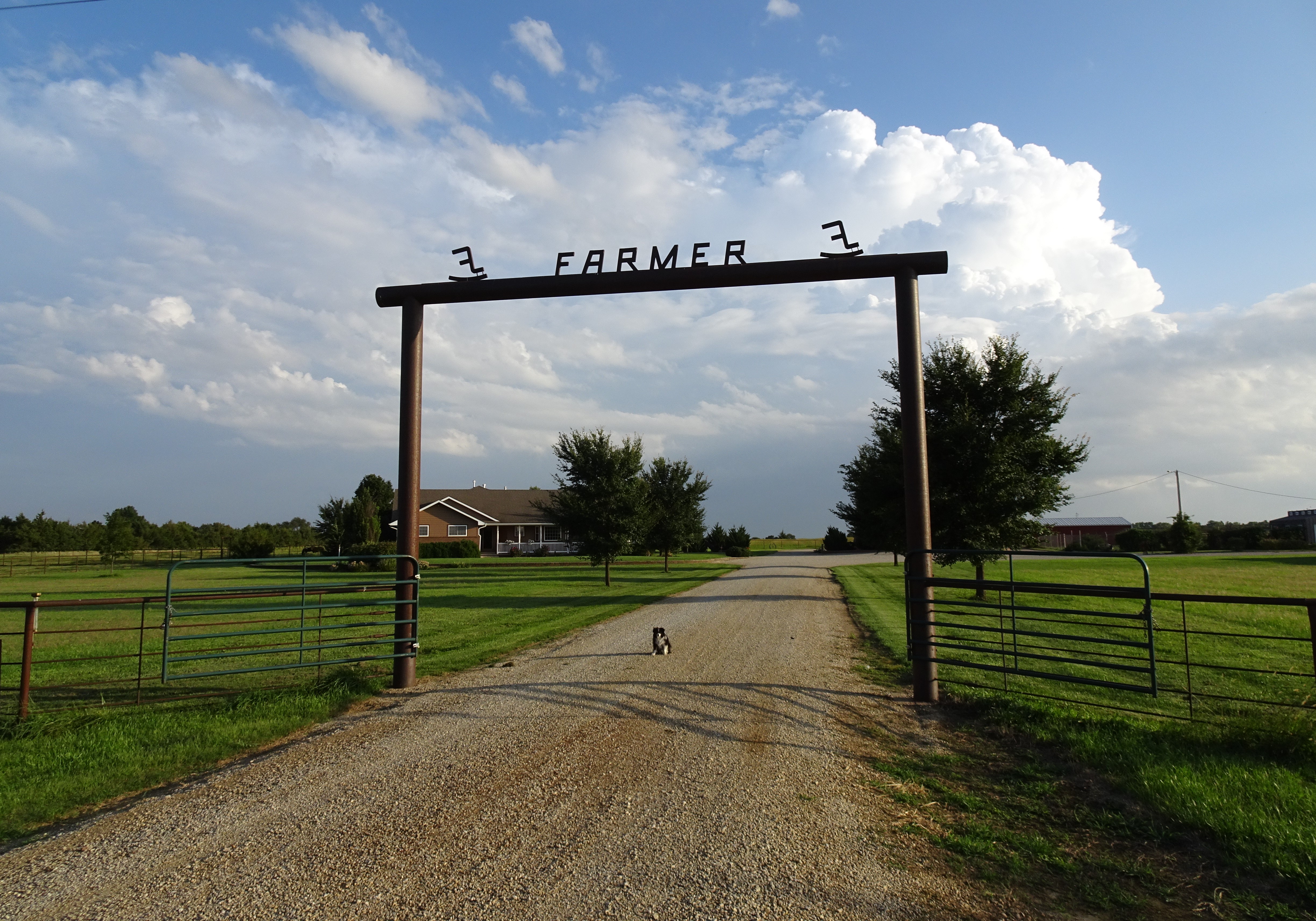
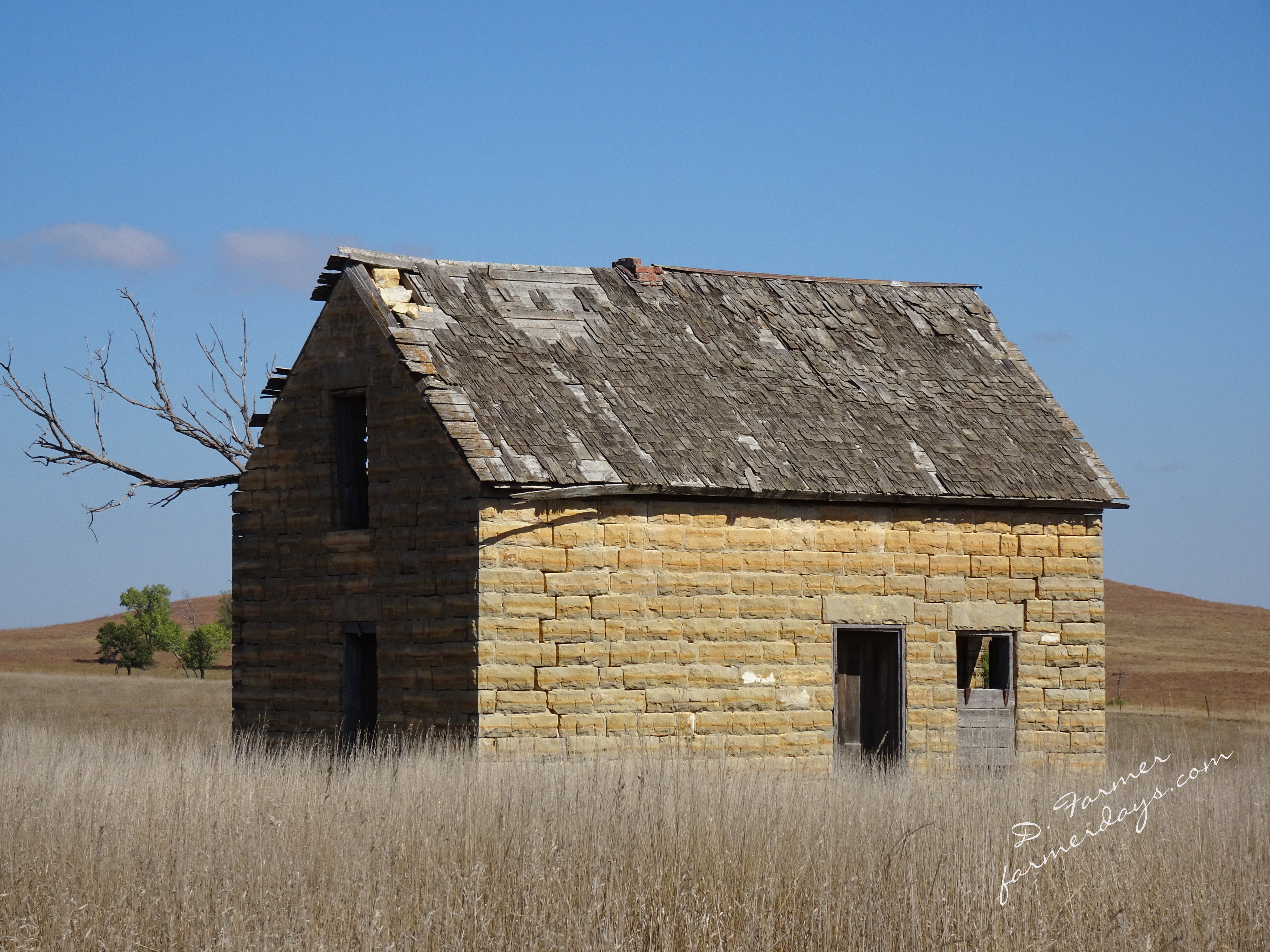
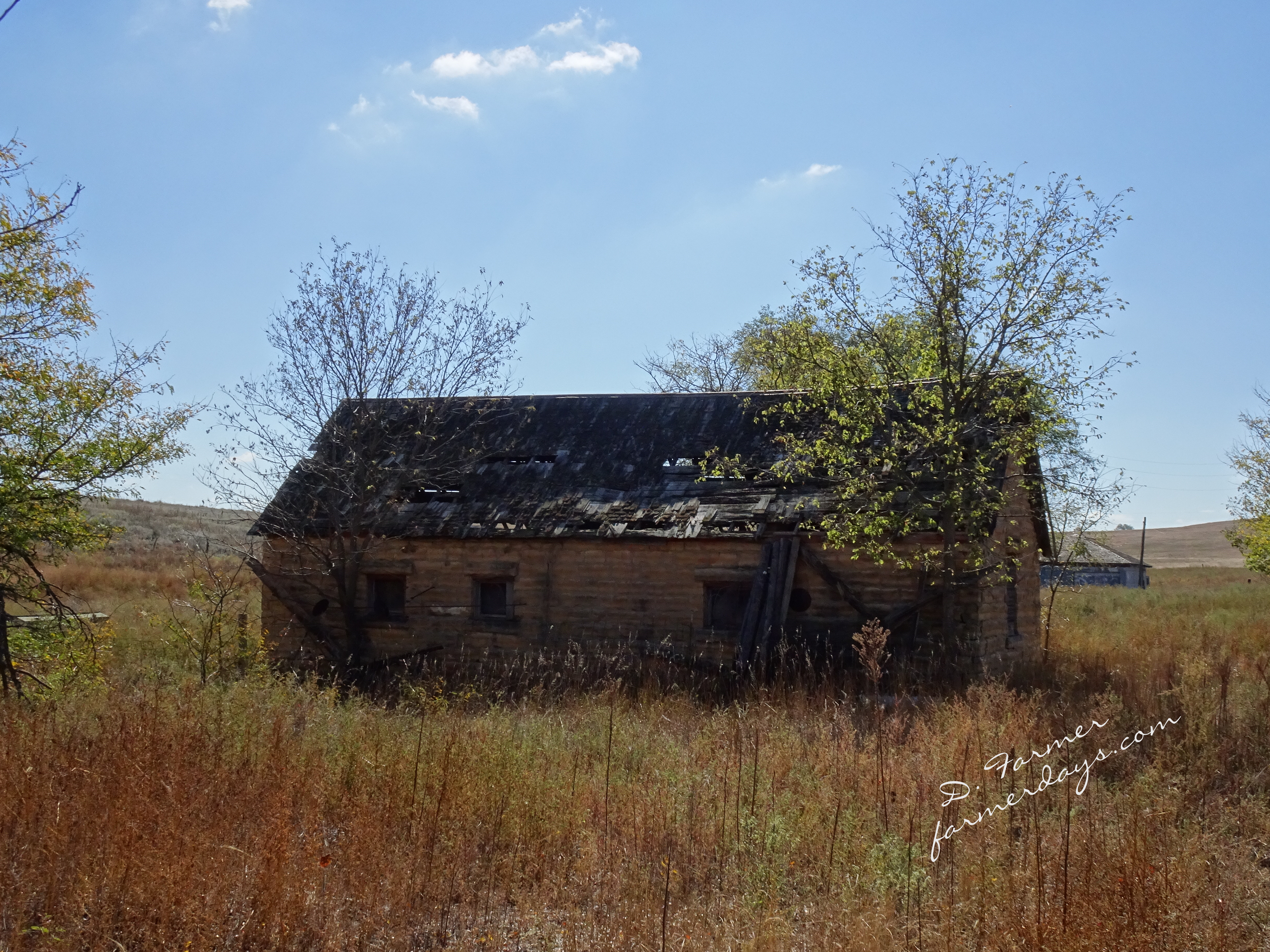
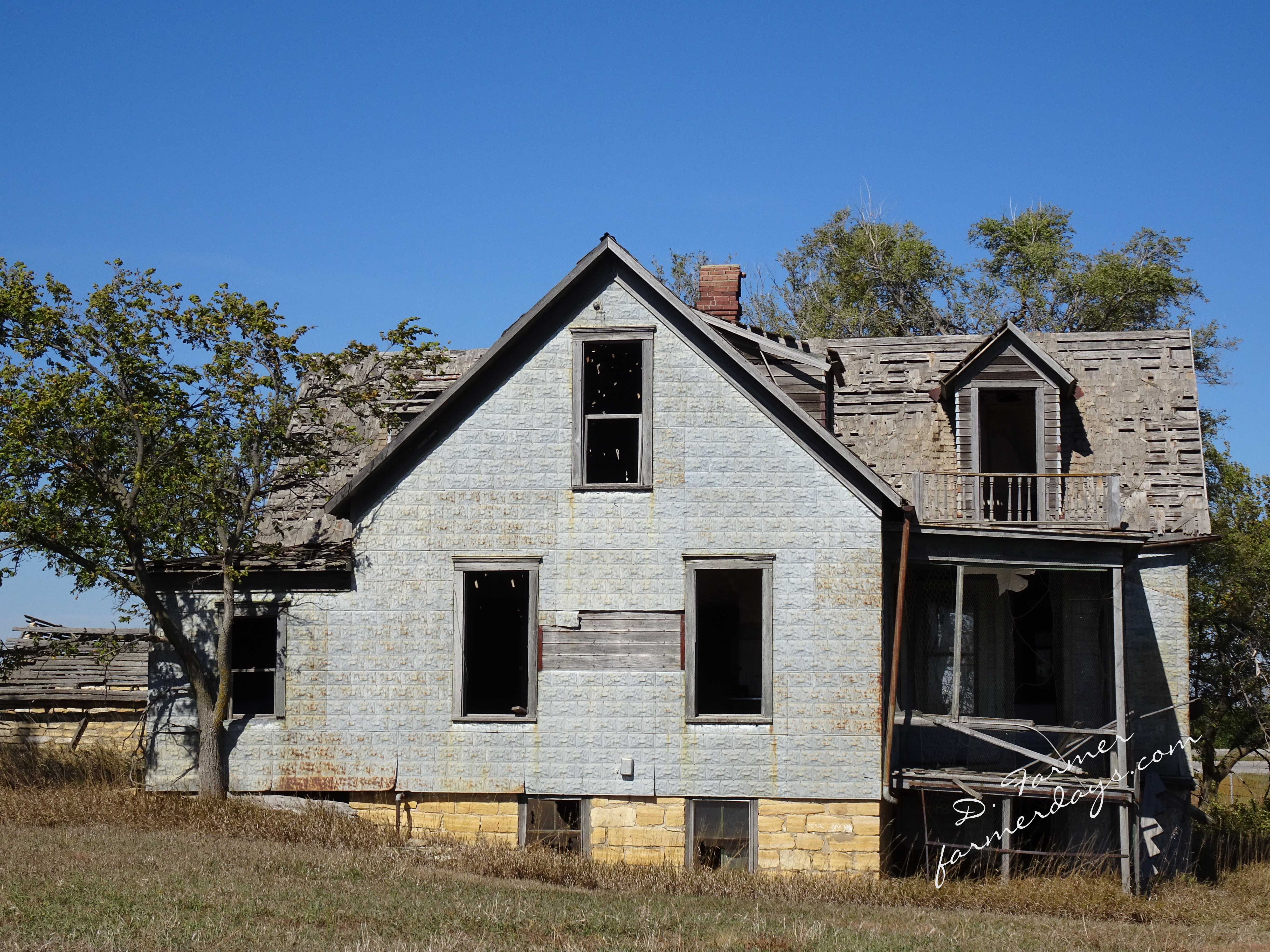
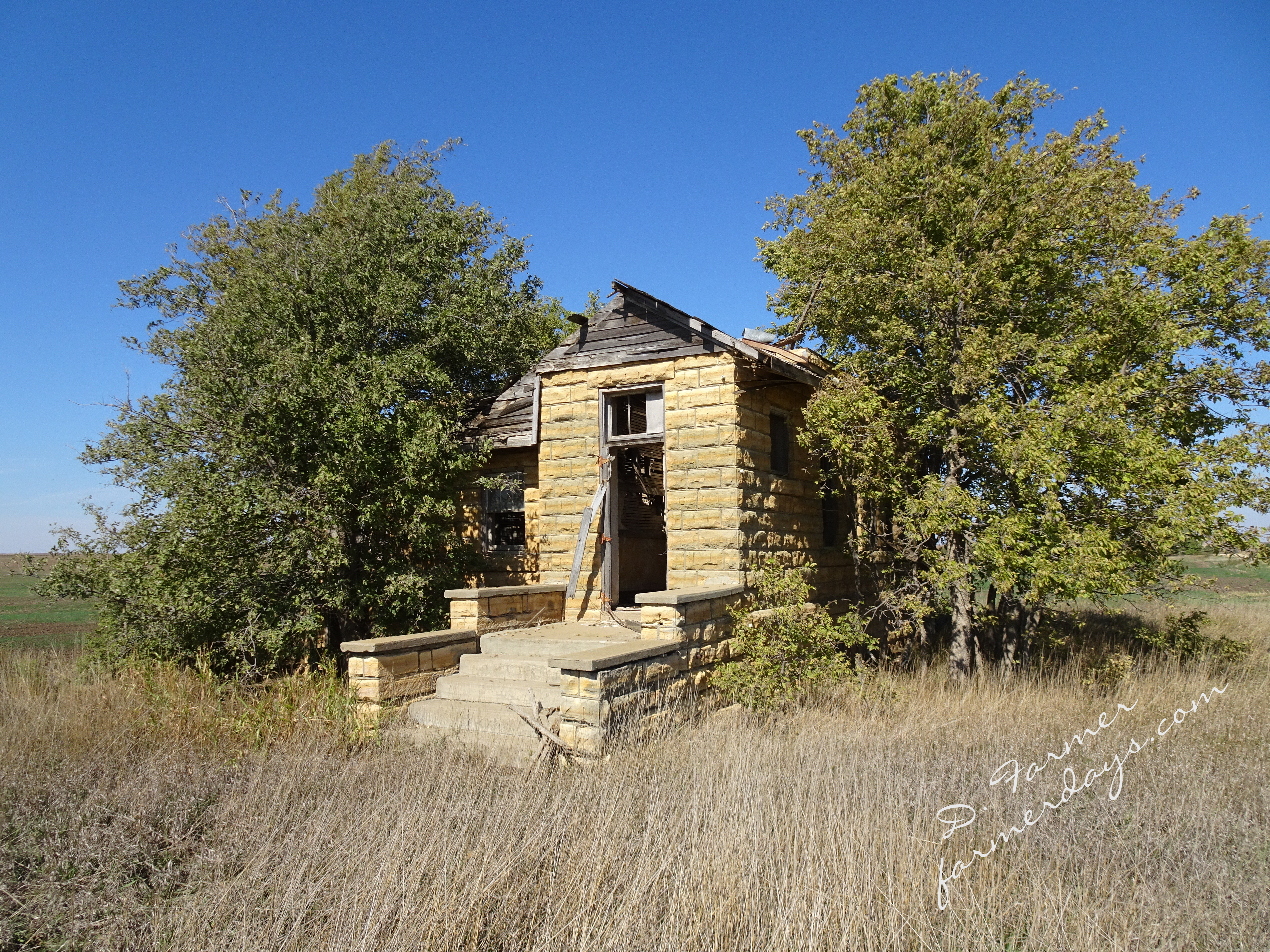
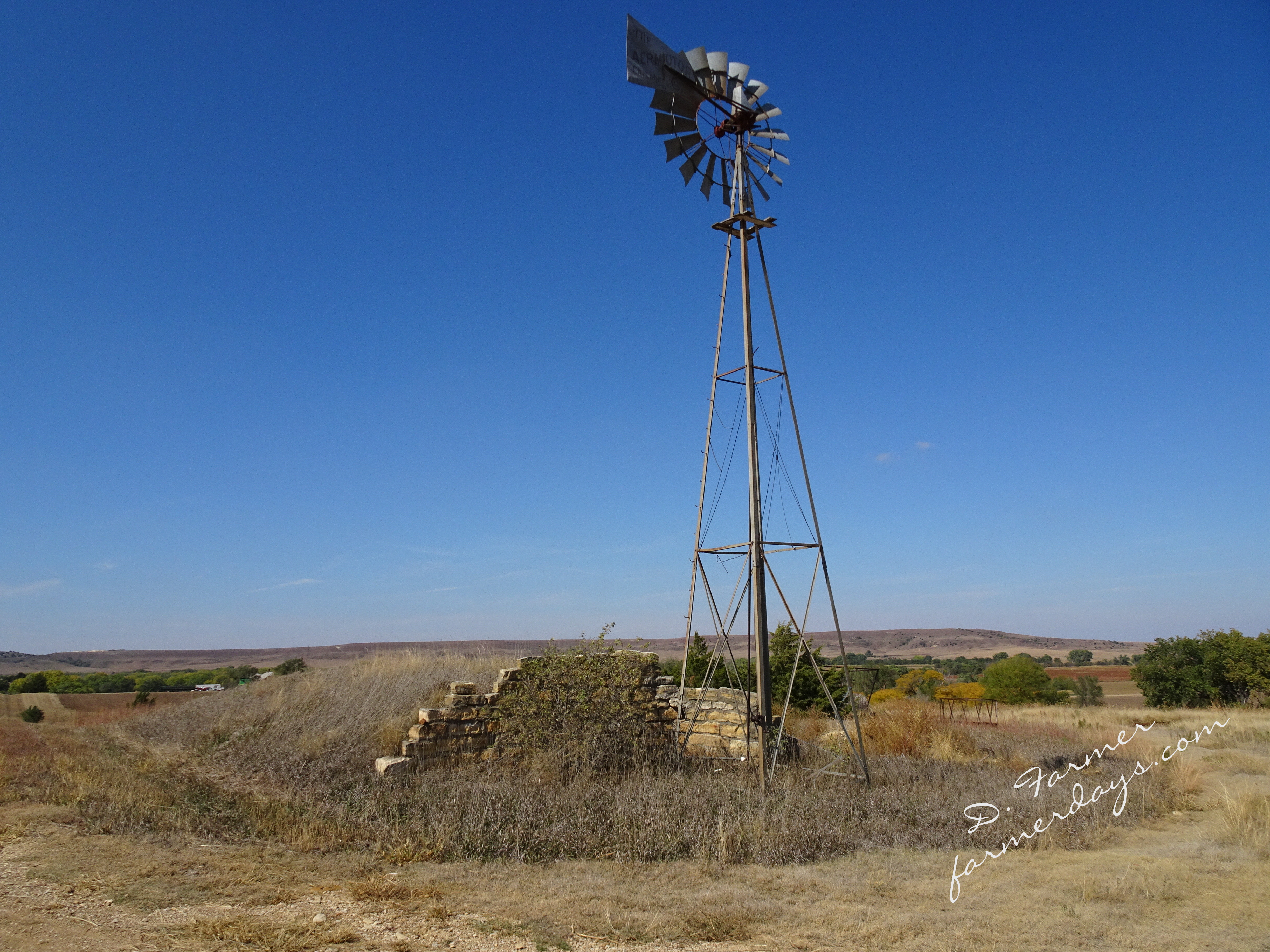
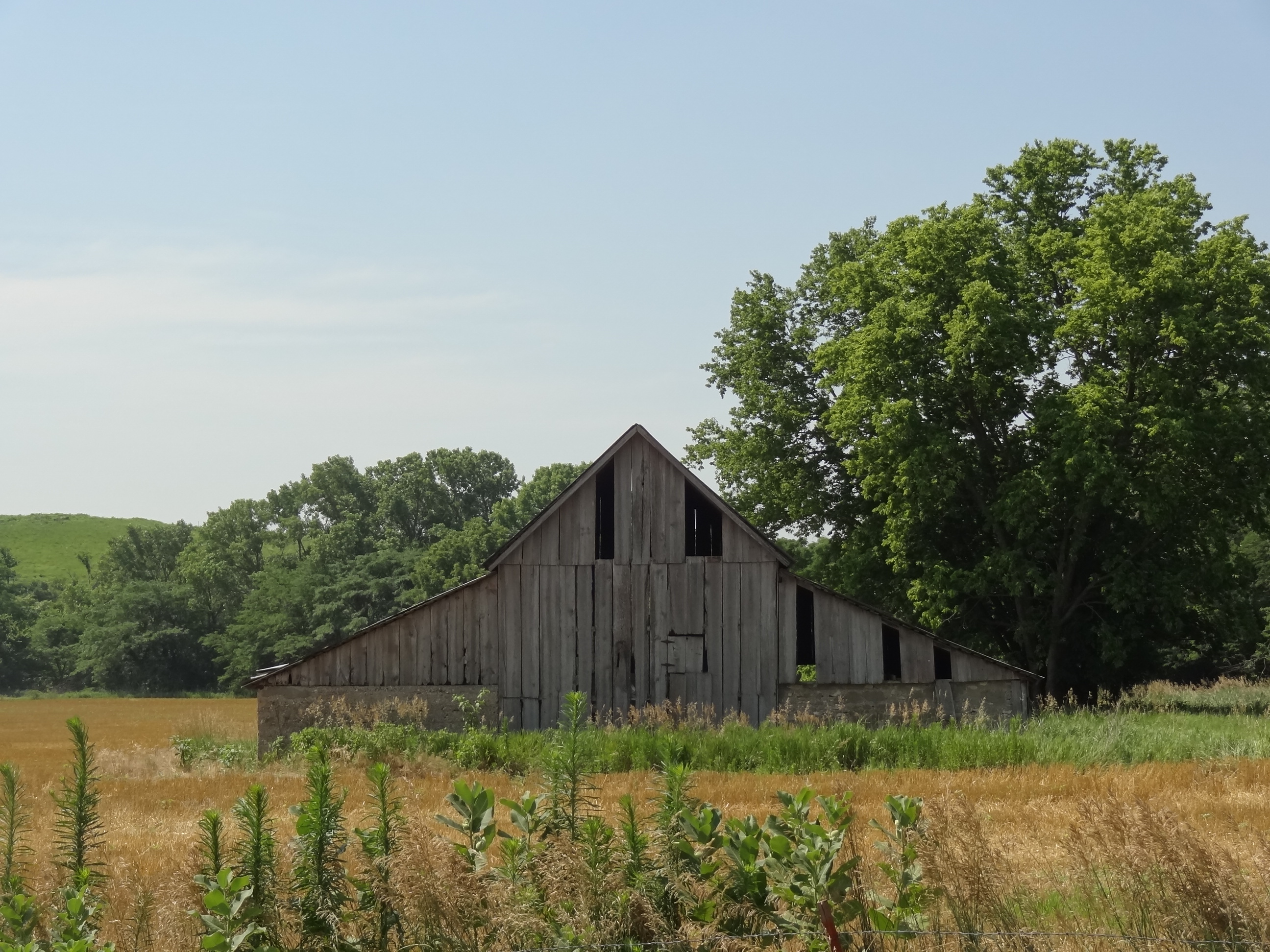
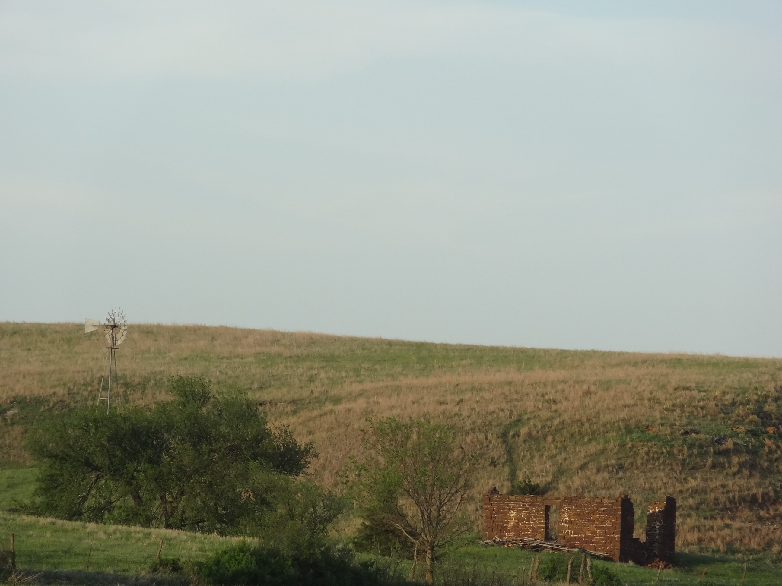
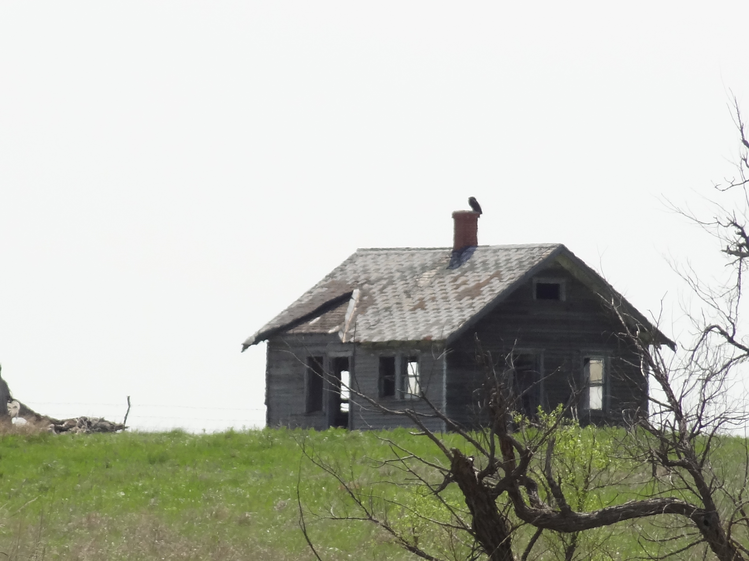
Dunlap is currently home to approximately 30 people.
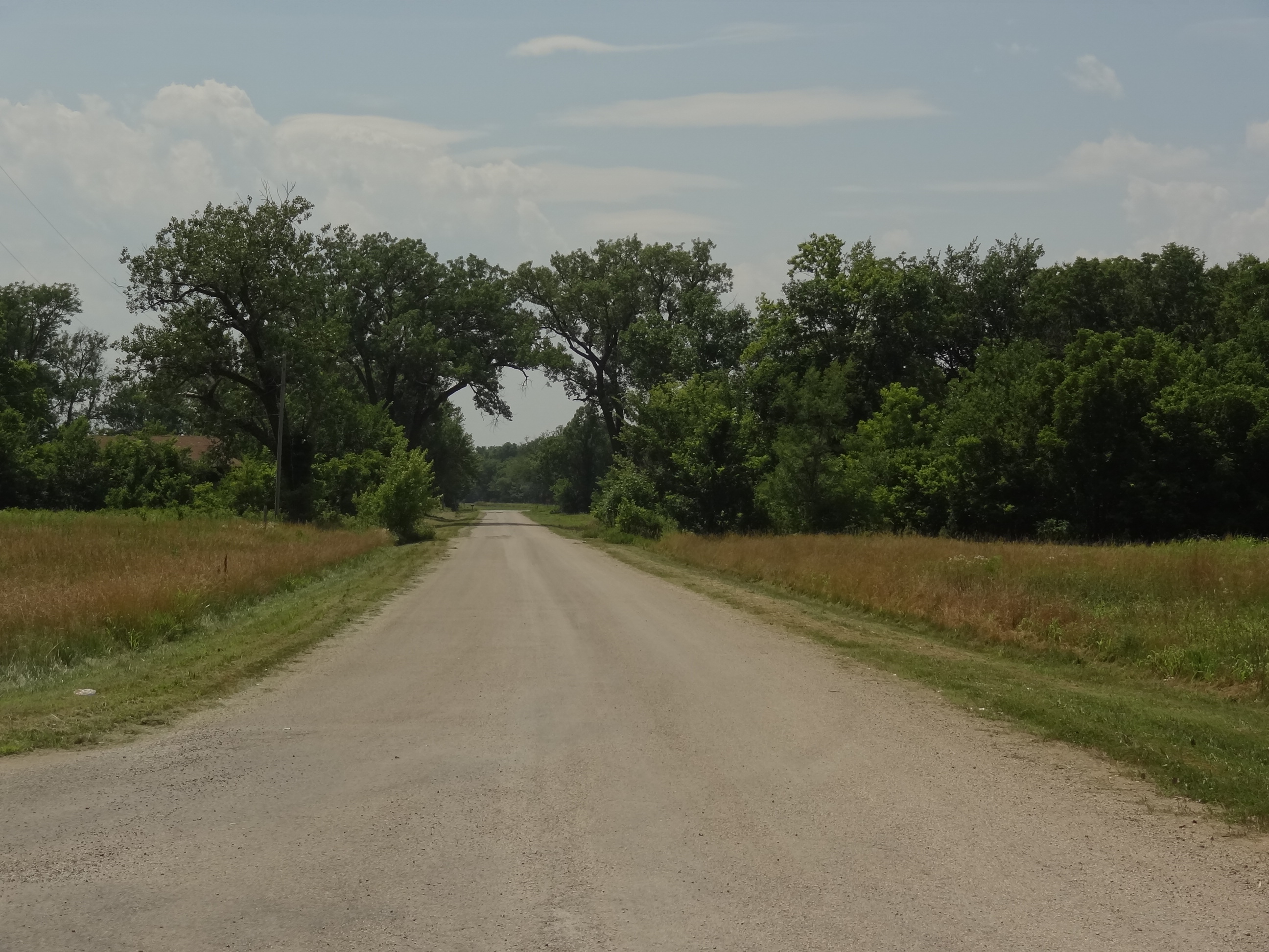
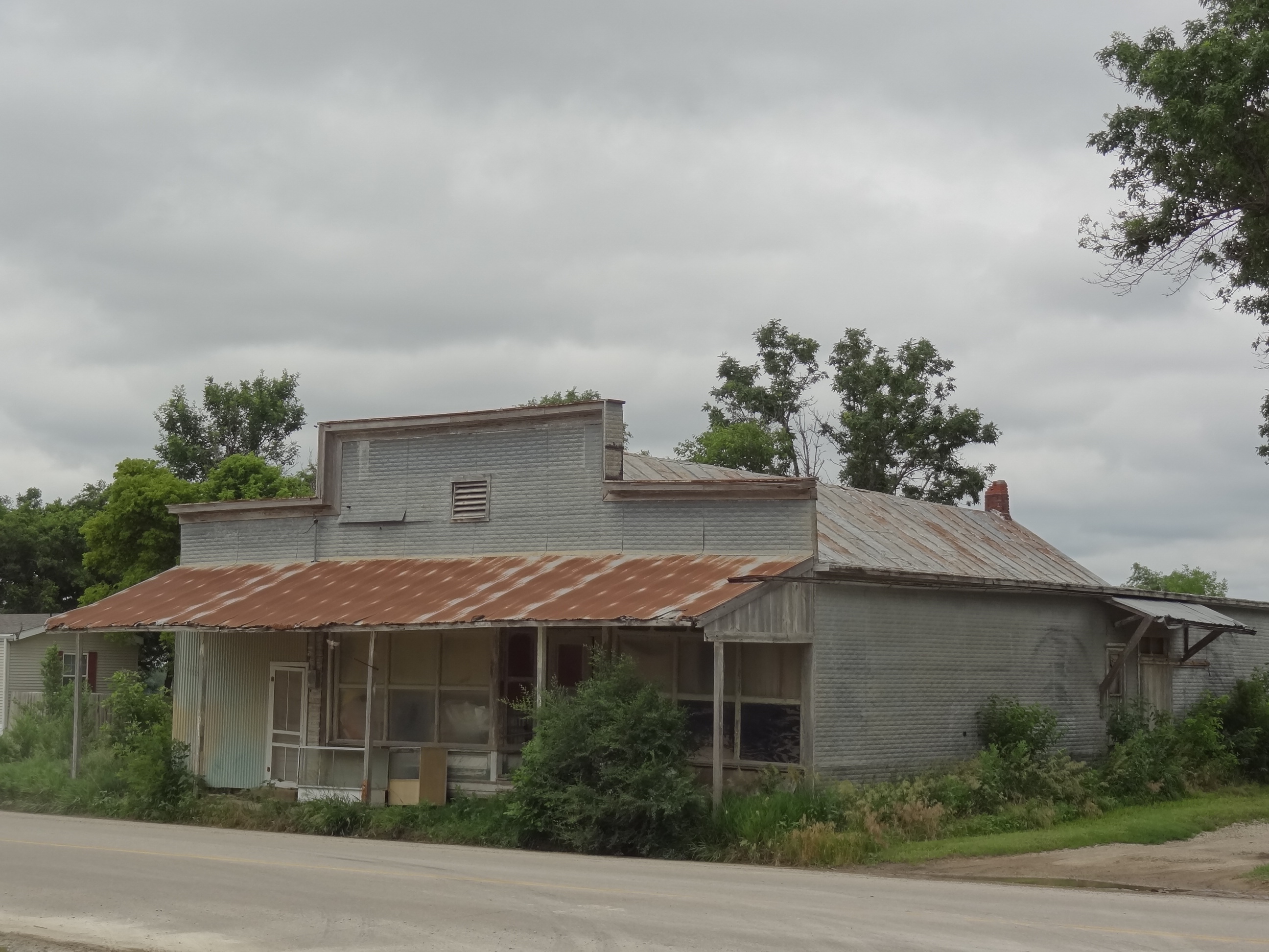
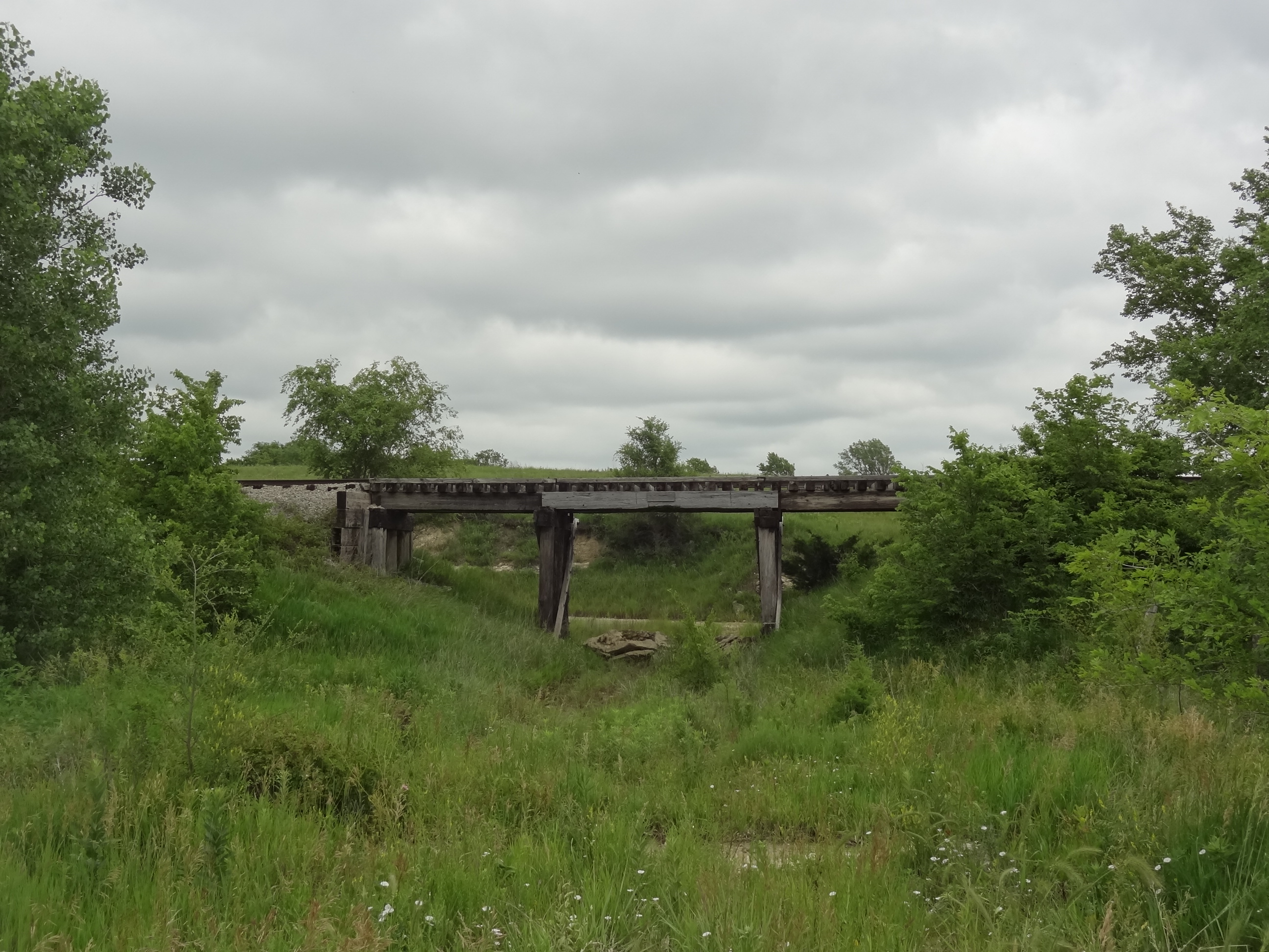
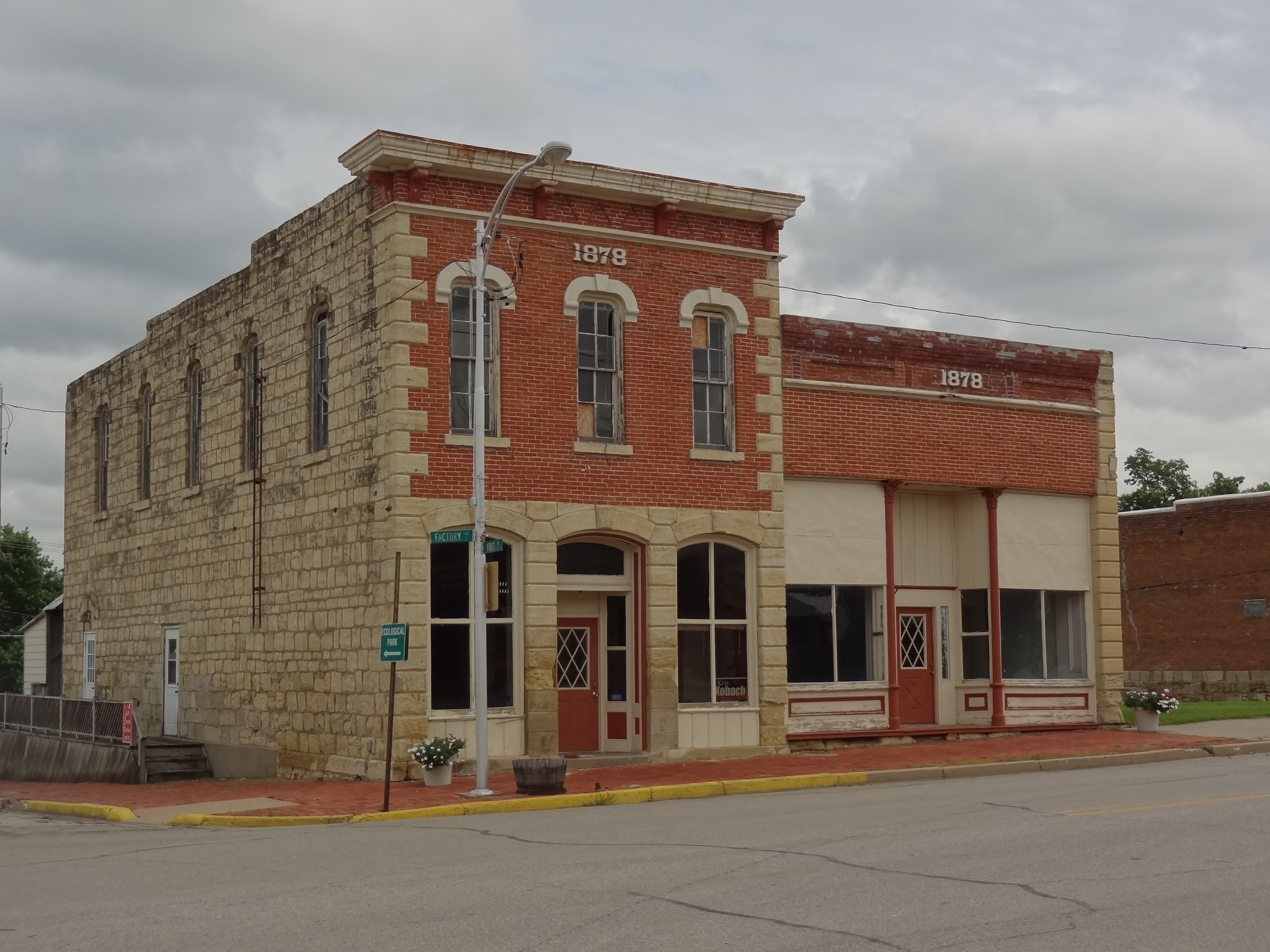
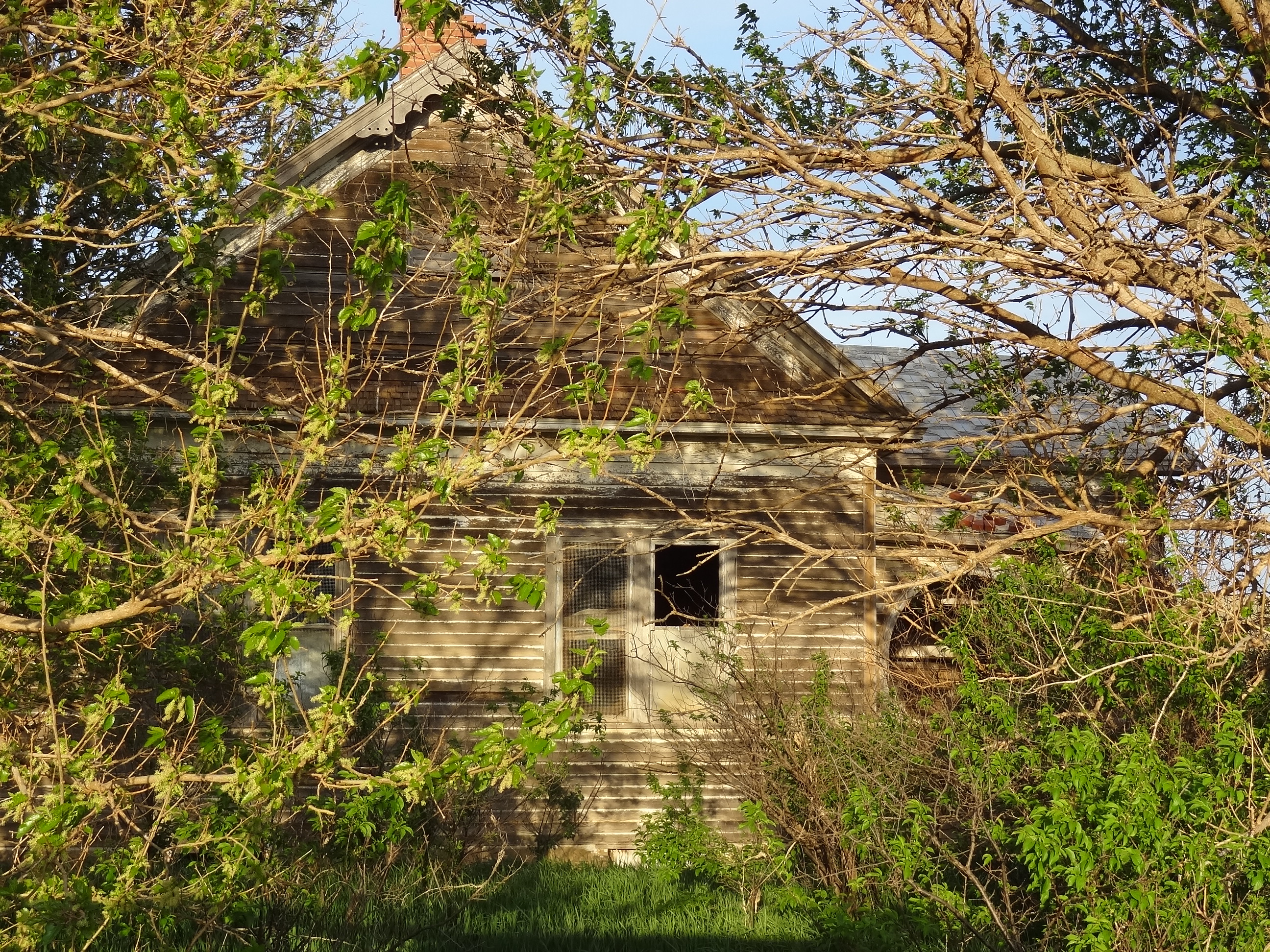
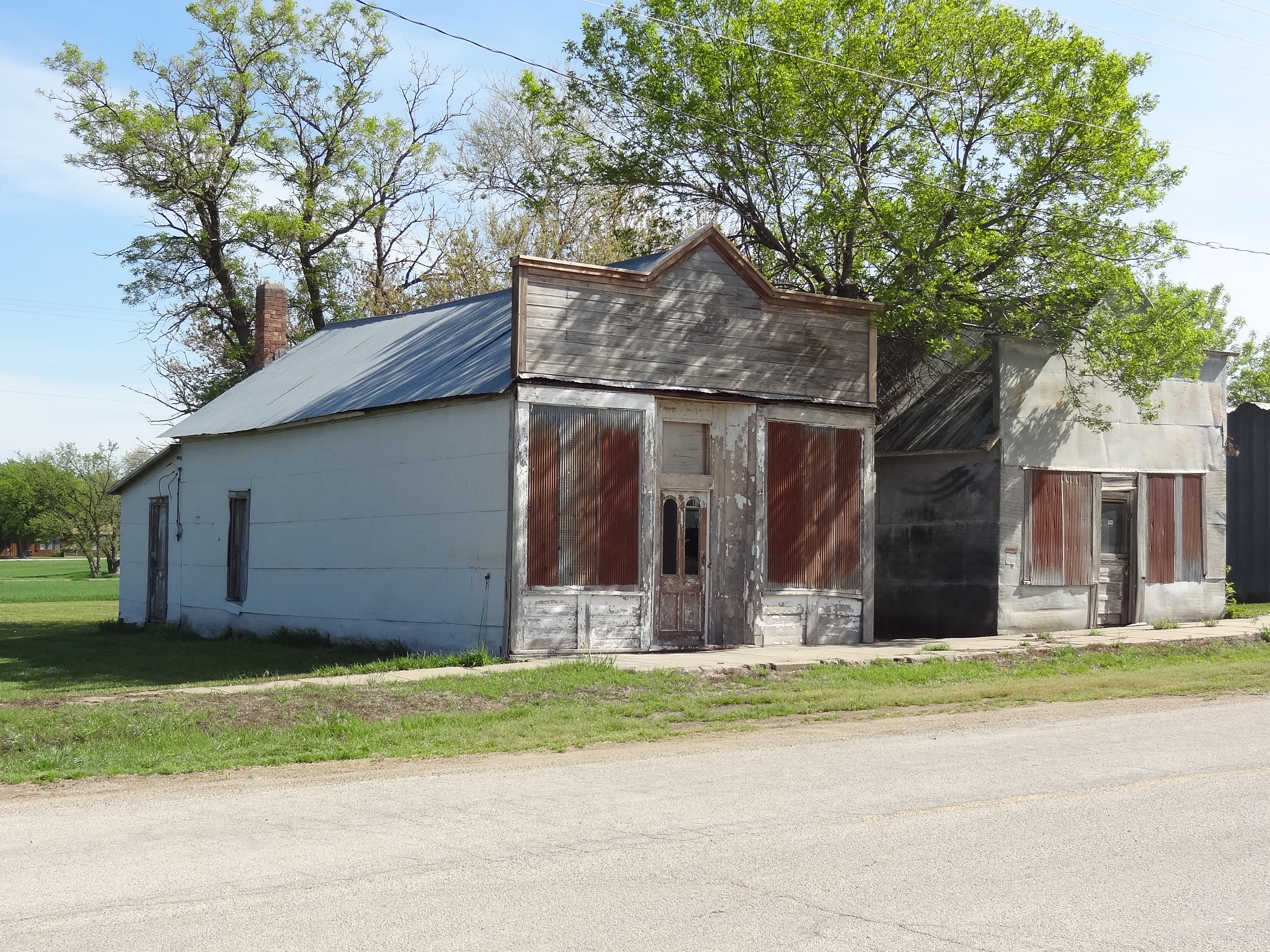
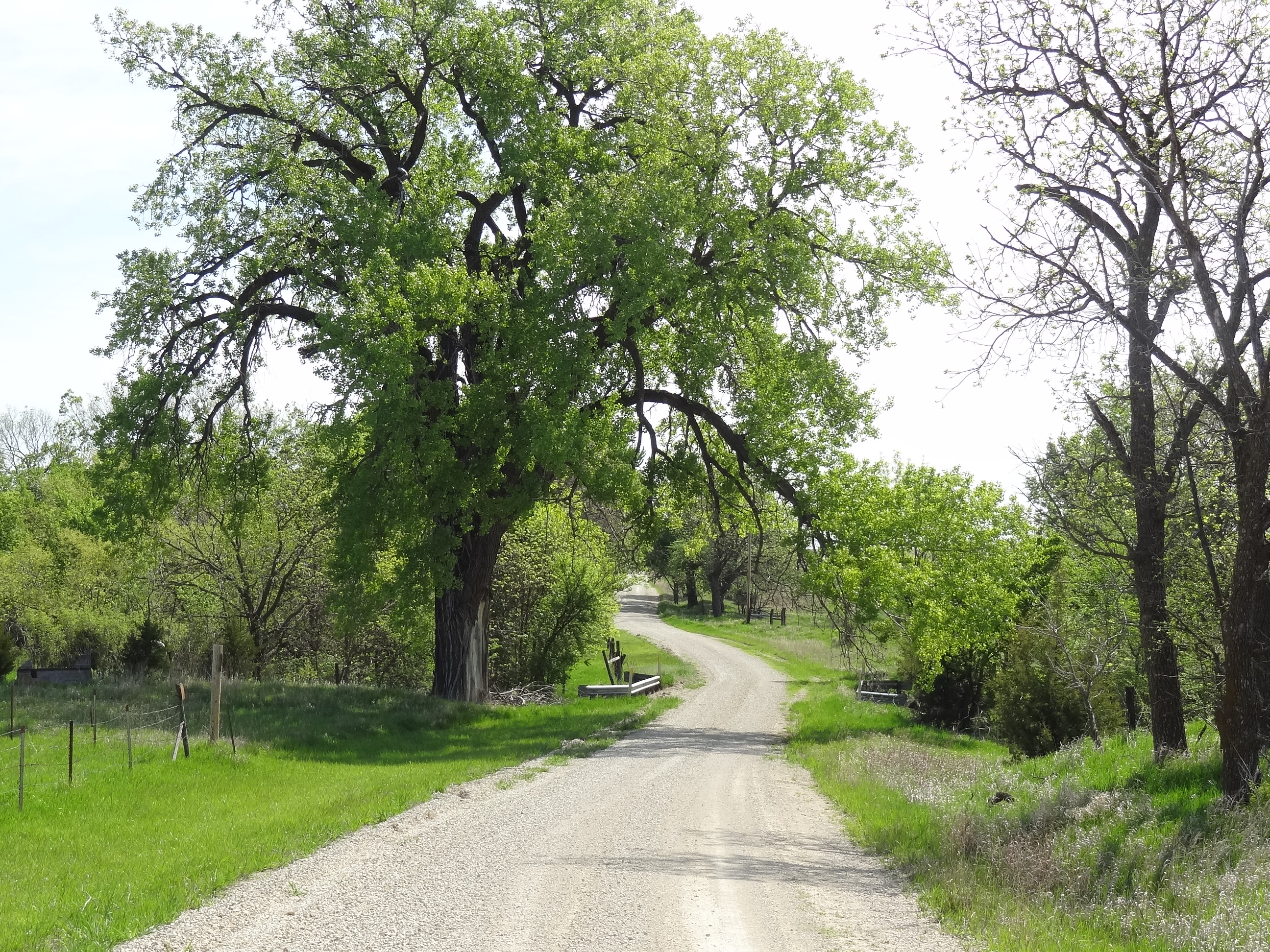
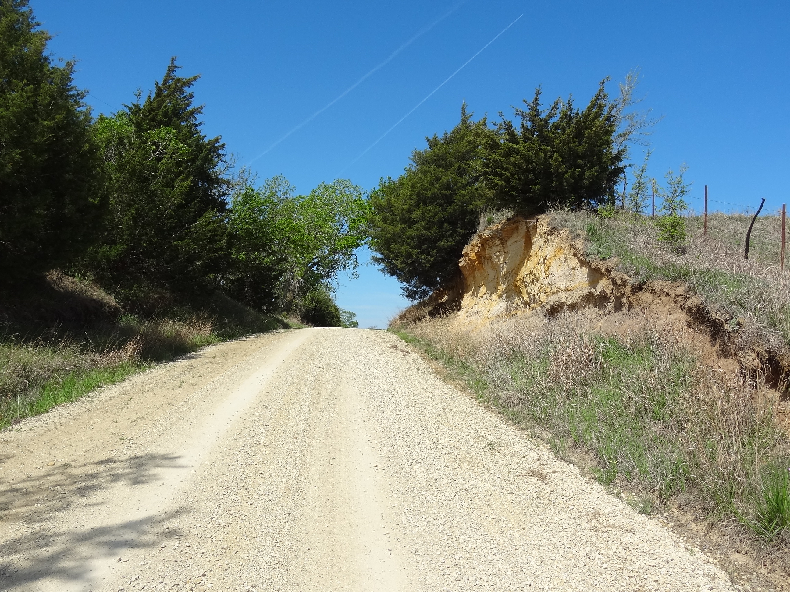
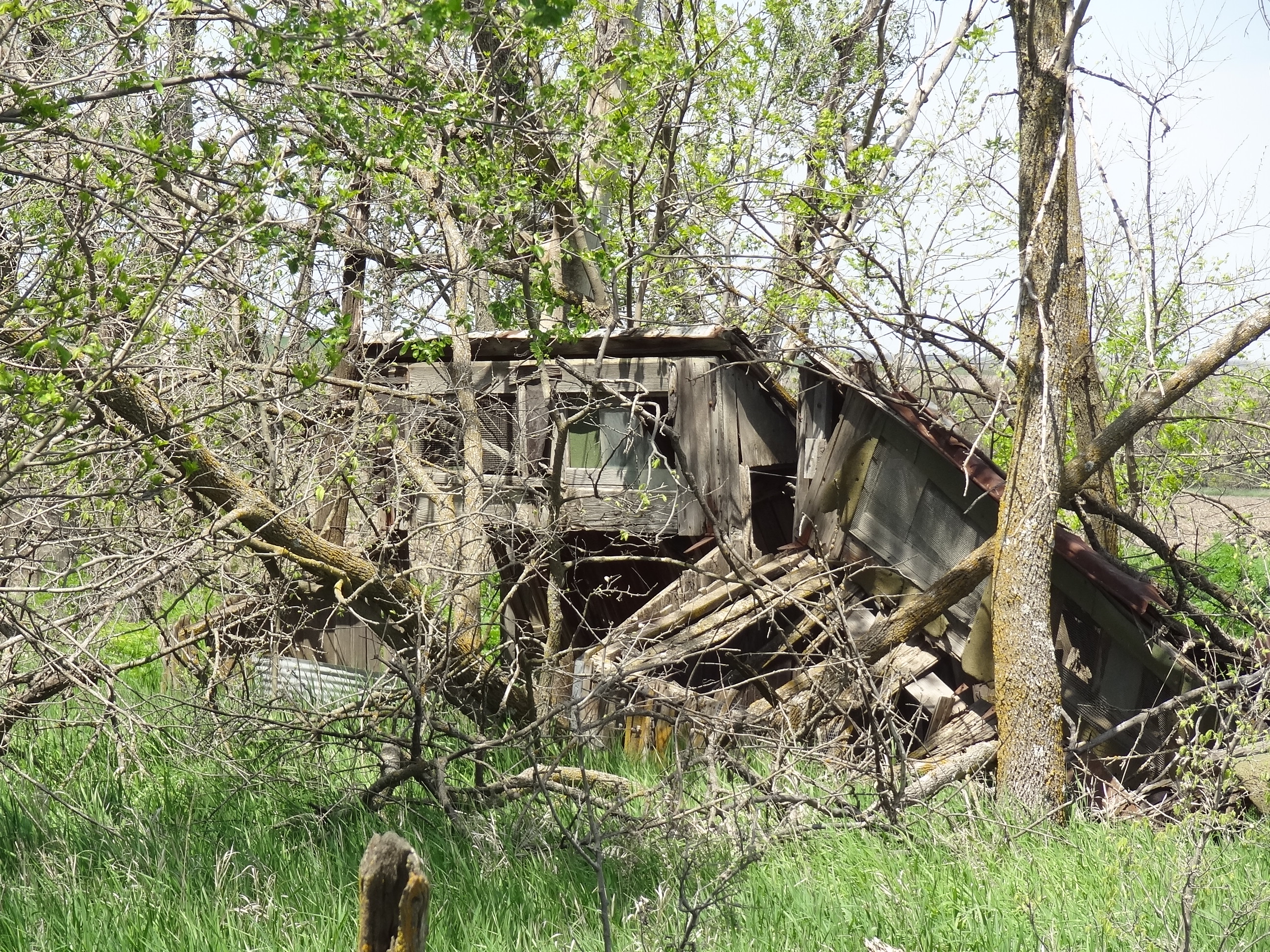
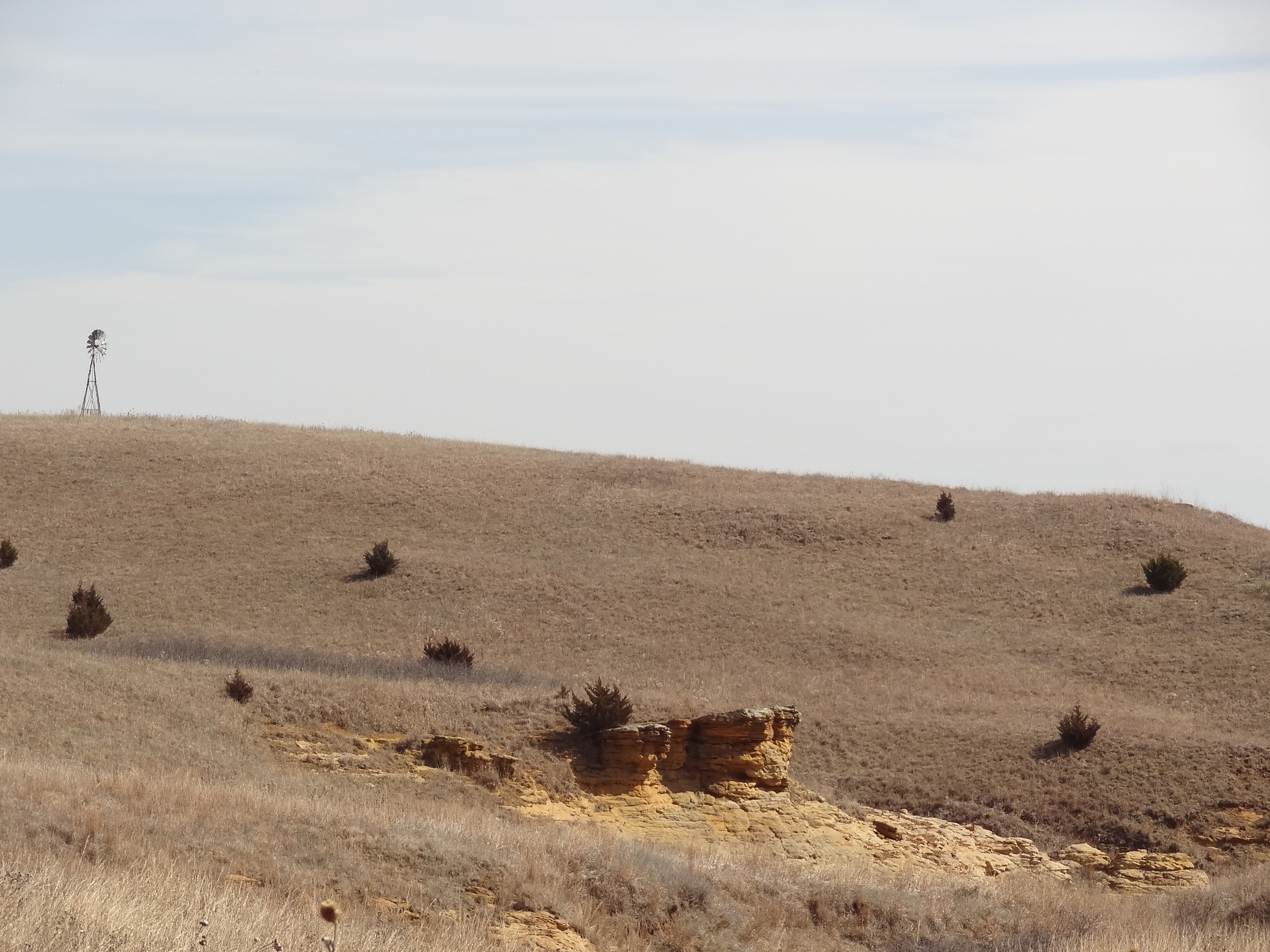
Main Street

DSC01497

DSC01500DSC01498

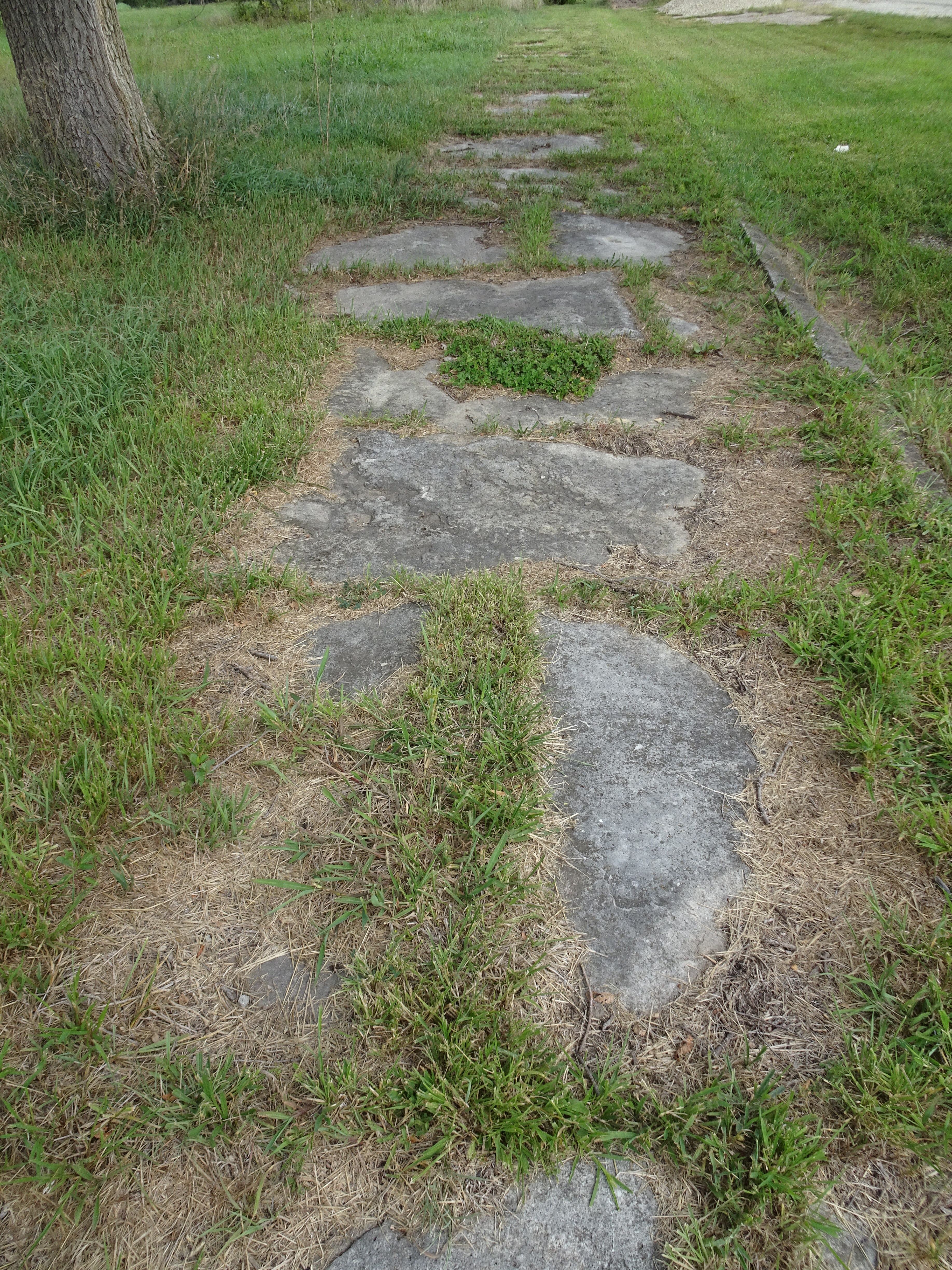
Native stone sidewalk along Main Street

DSC02148

DSC02158

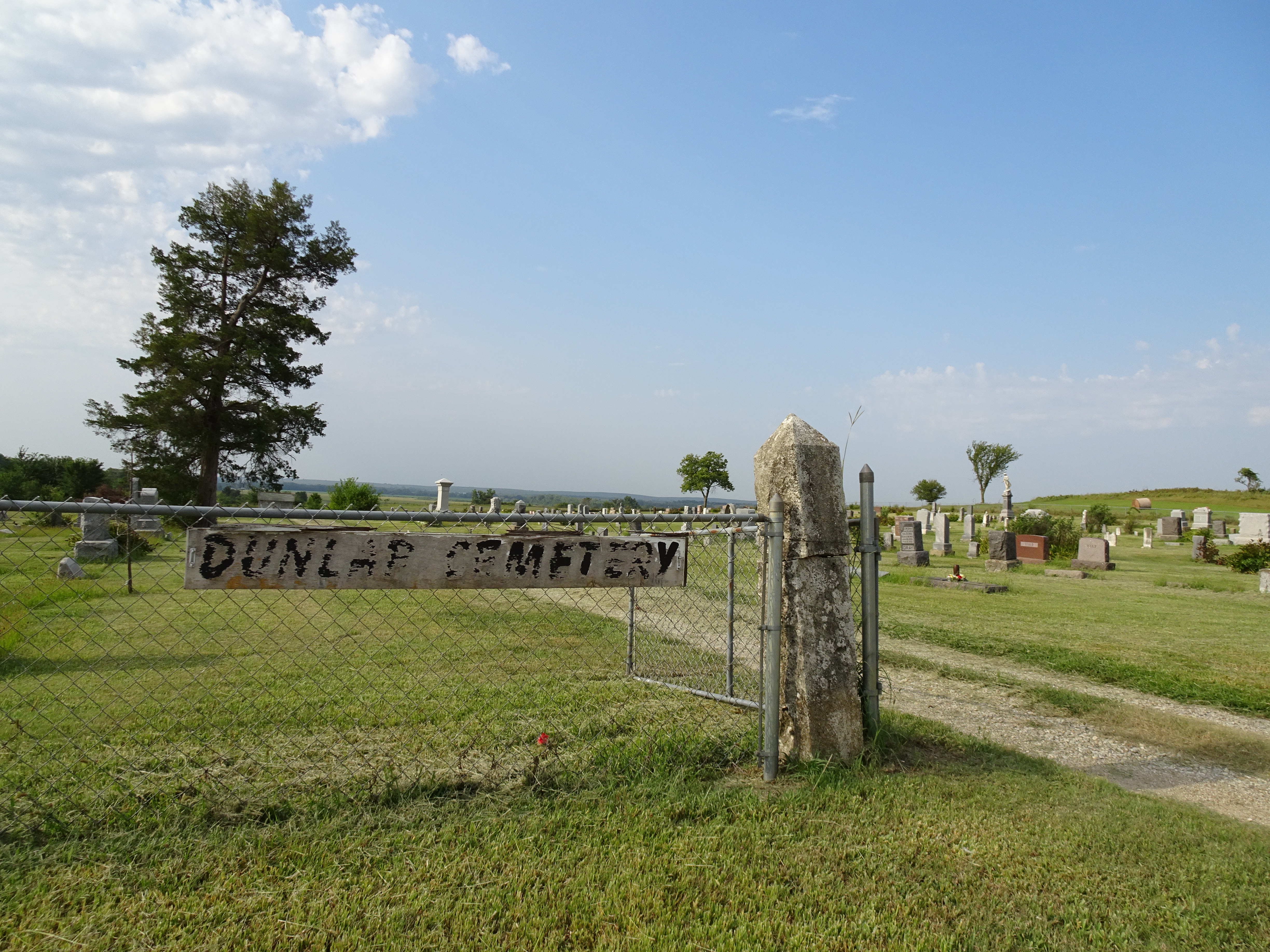
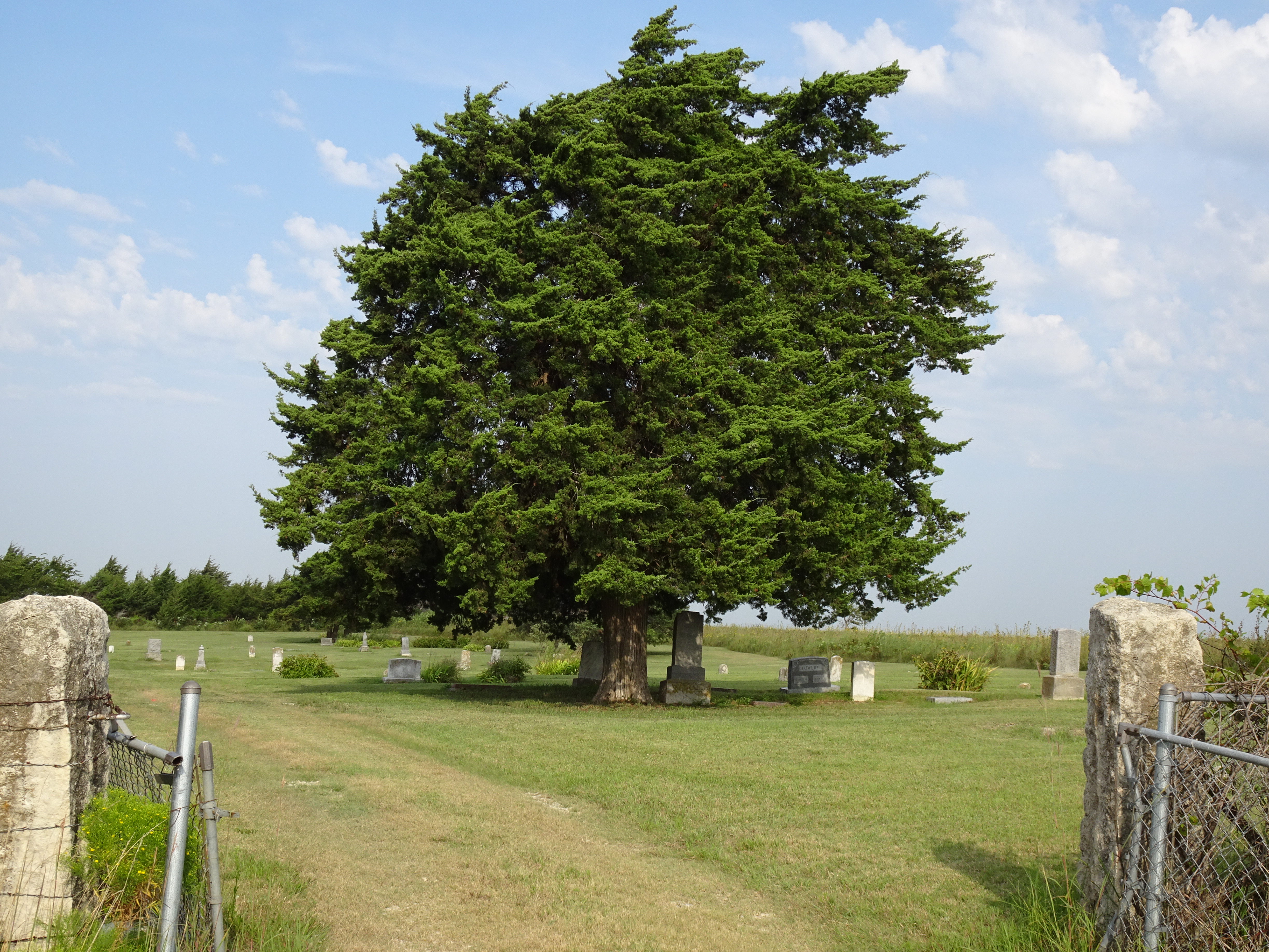
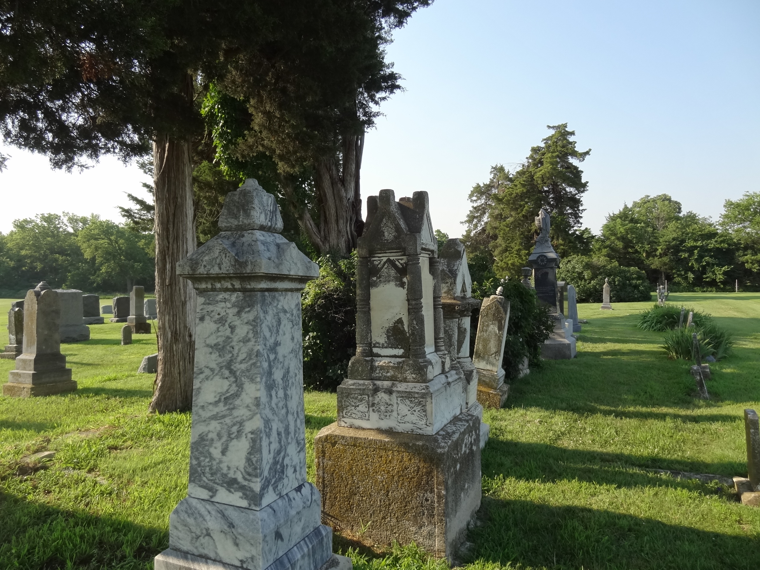
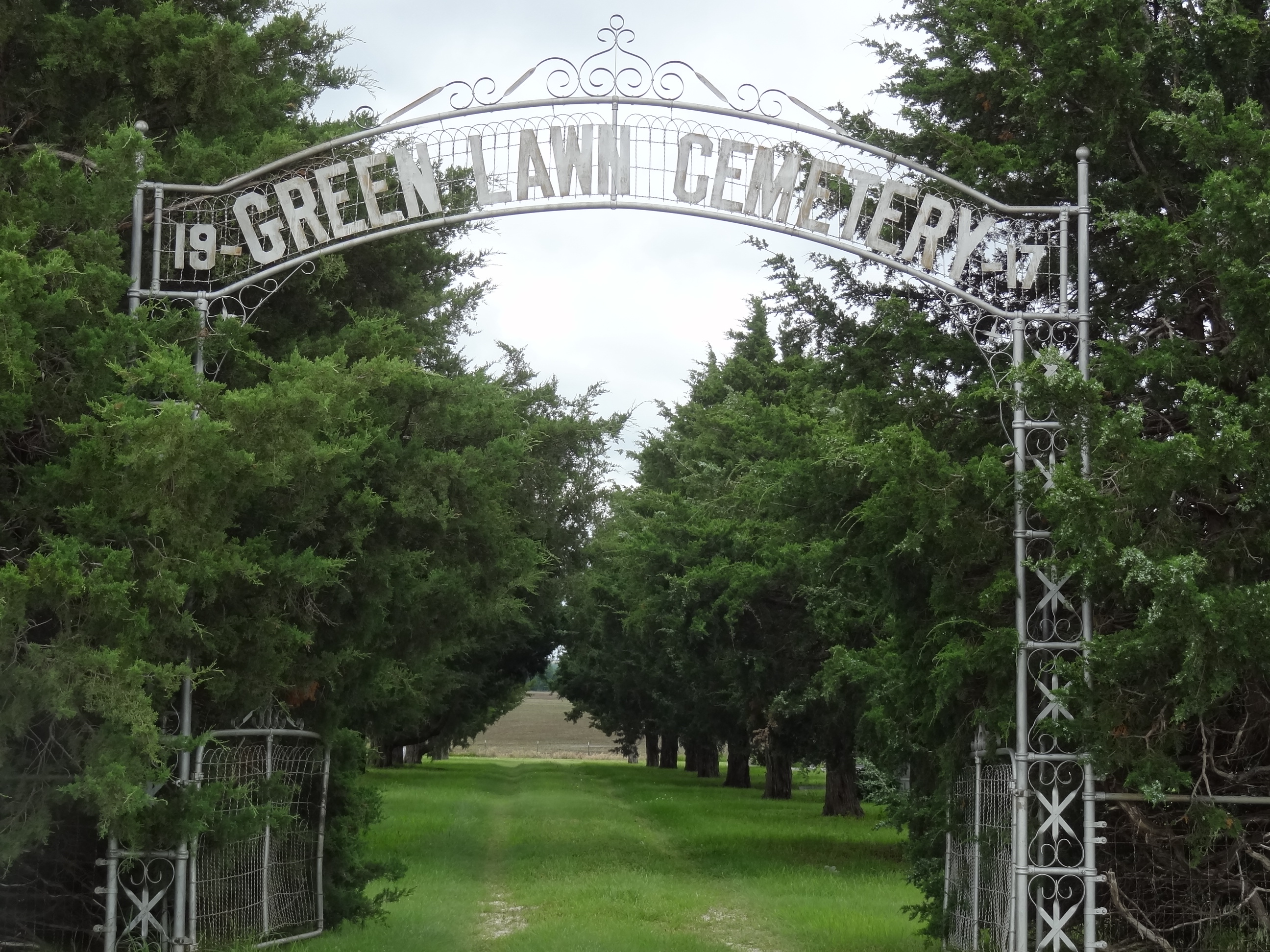
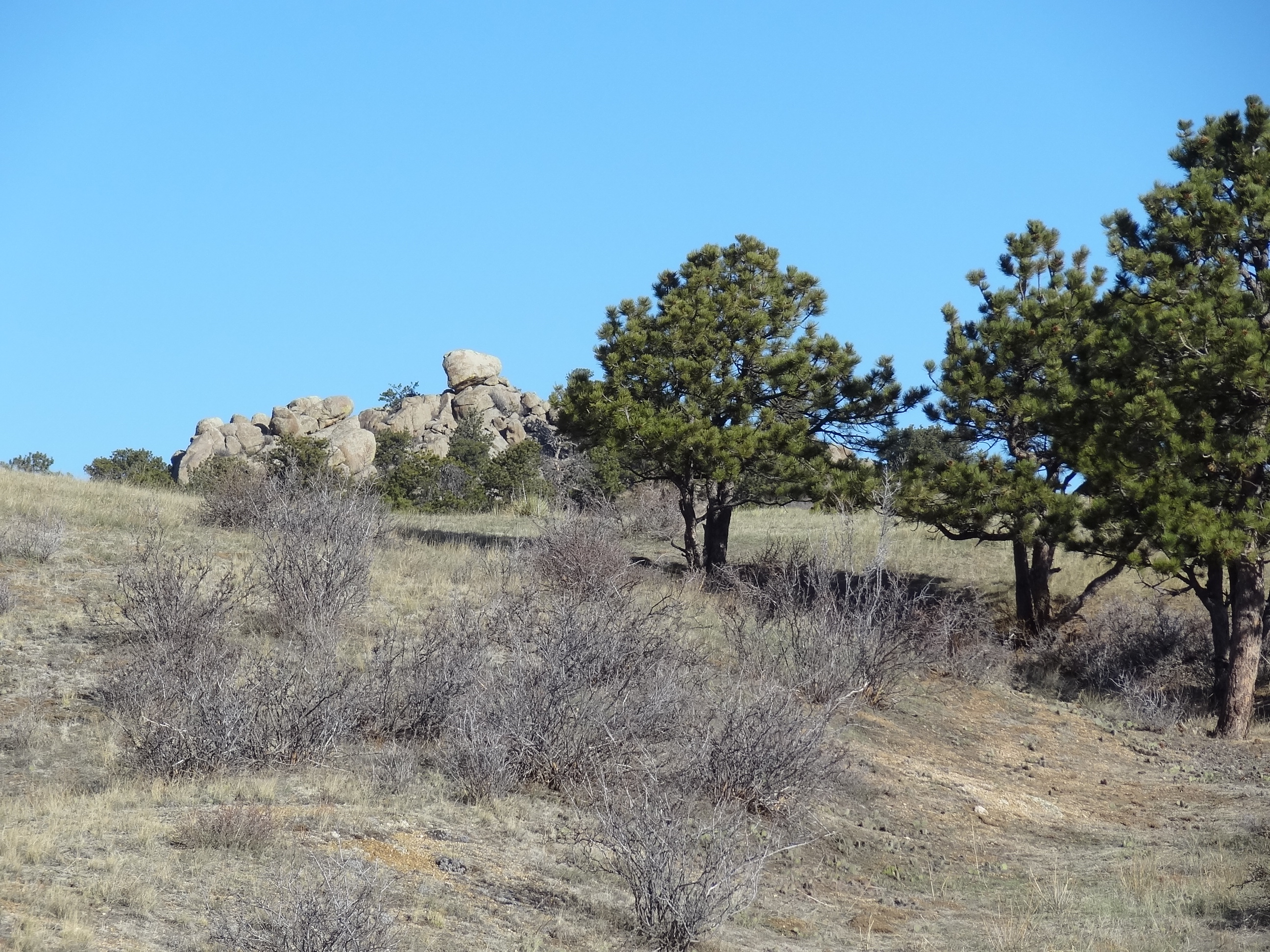
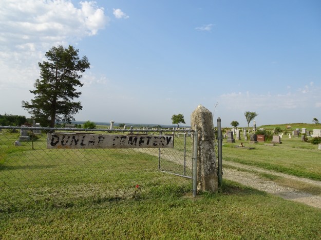
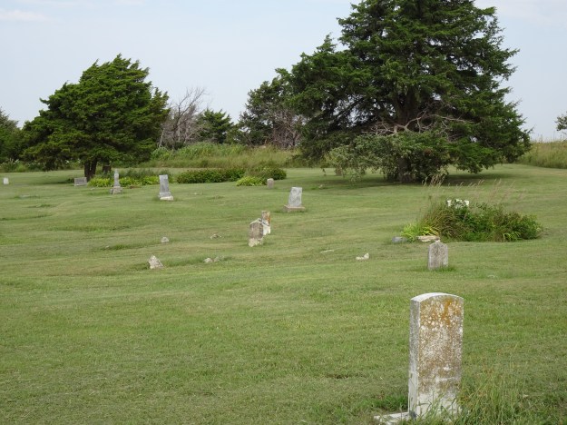
White Cemetery Dunlap, KS

DSC02098

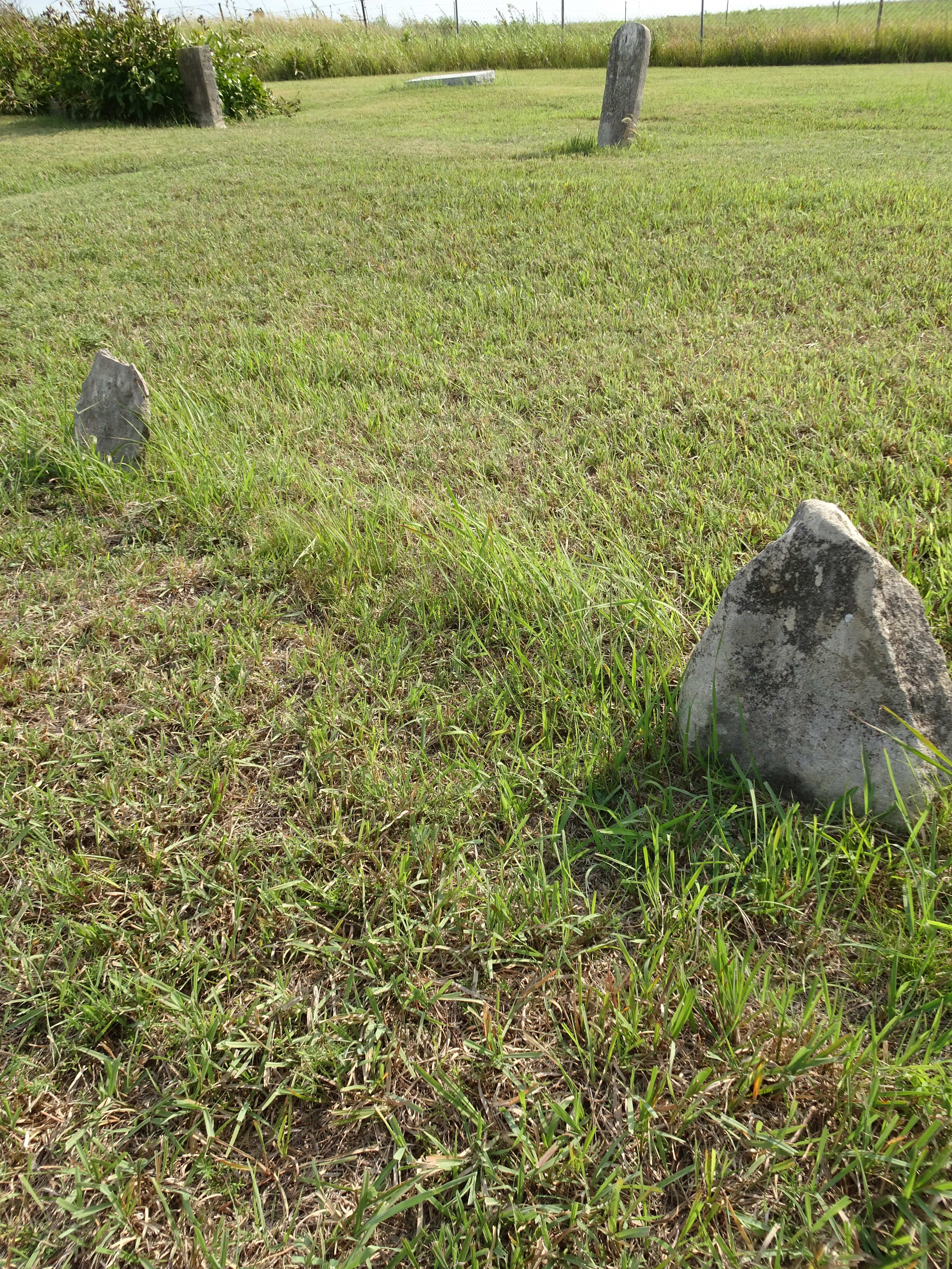
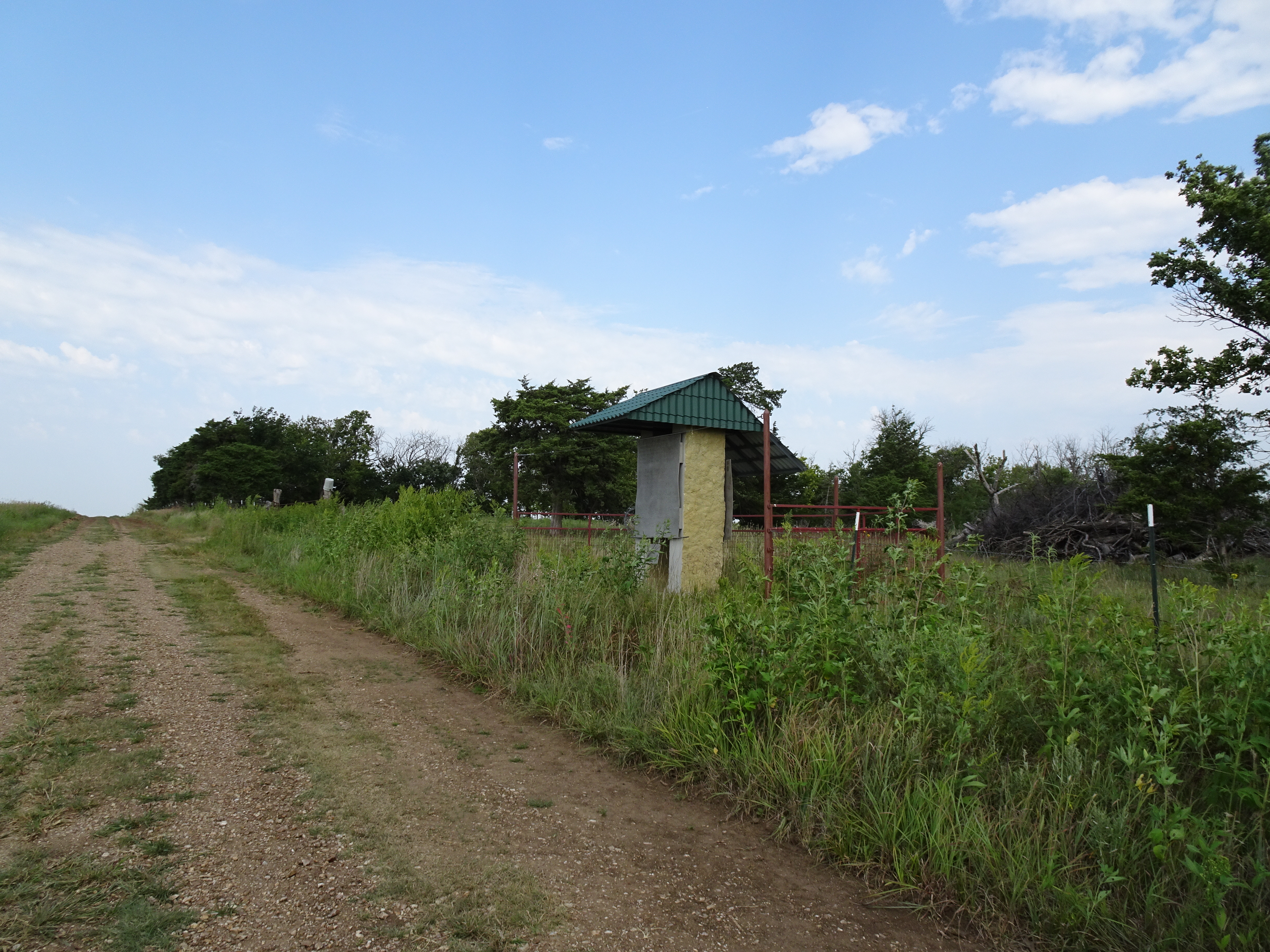
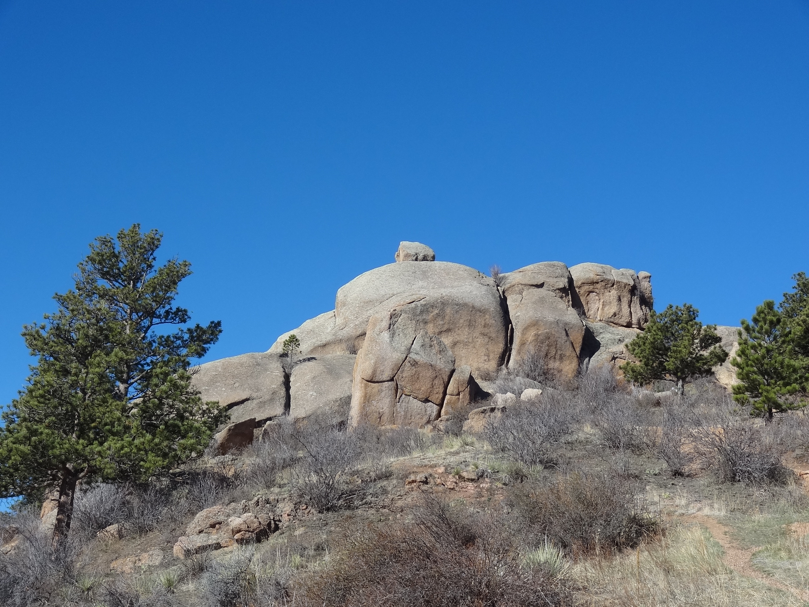
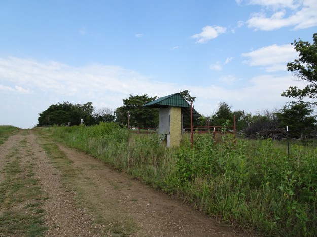
Black Cemetery about 1 mile north of the white cemetery

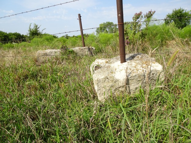
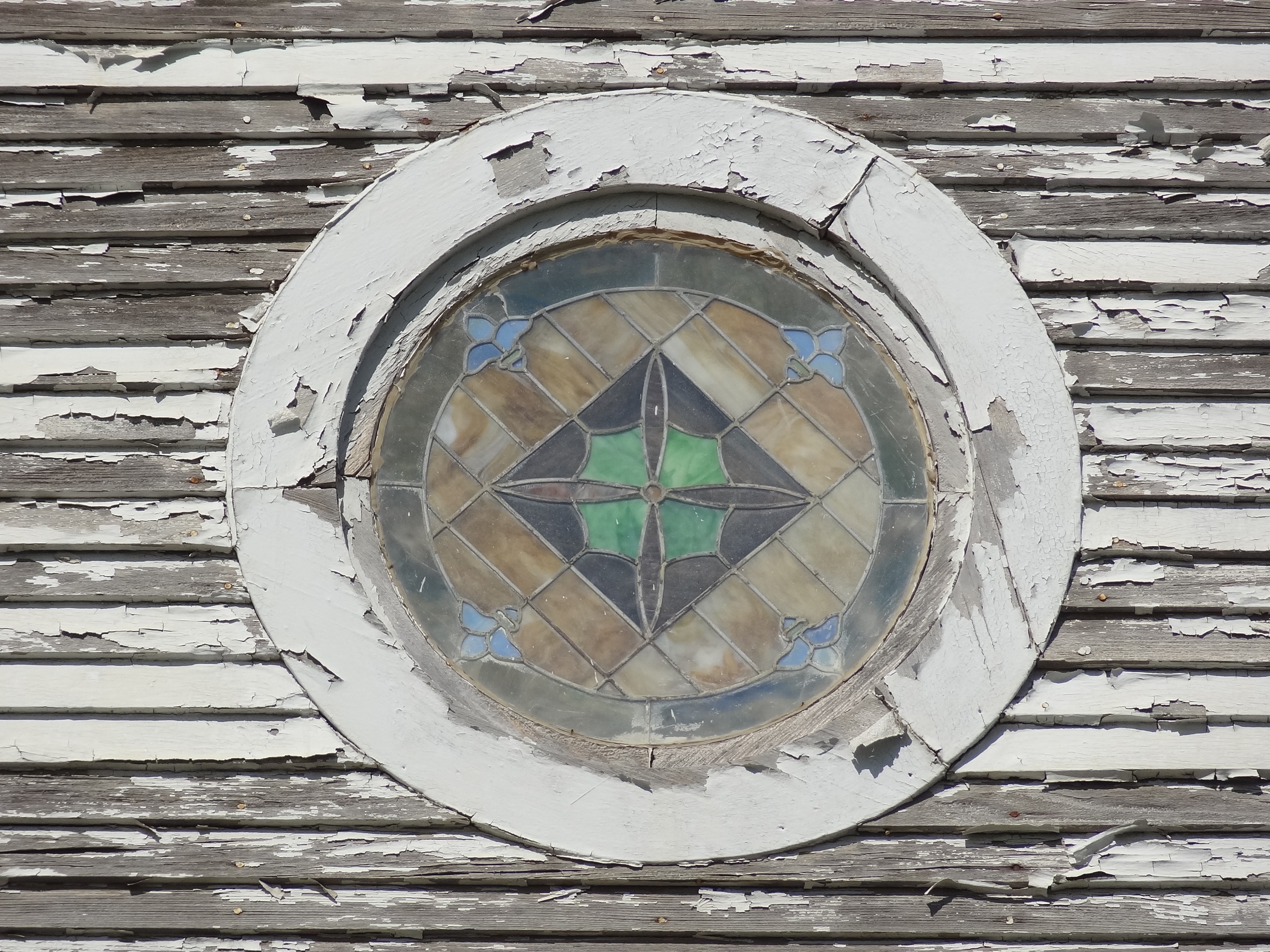
Many of the headstones were native stones with no inscription on them

DSC02103

DSC02122

DSC02105

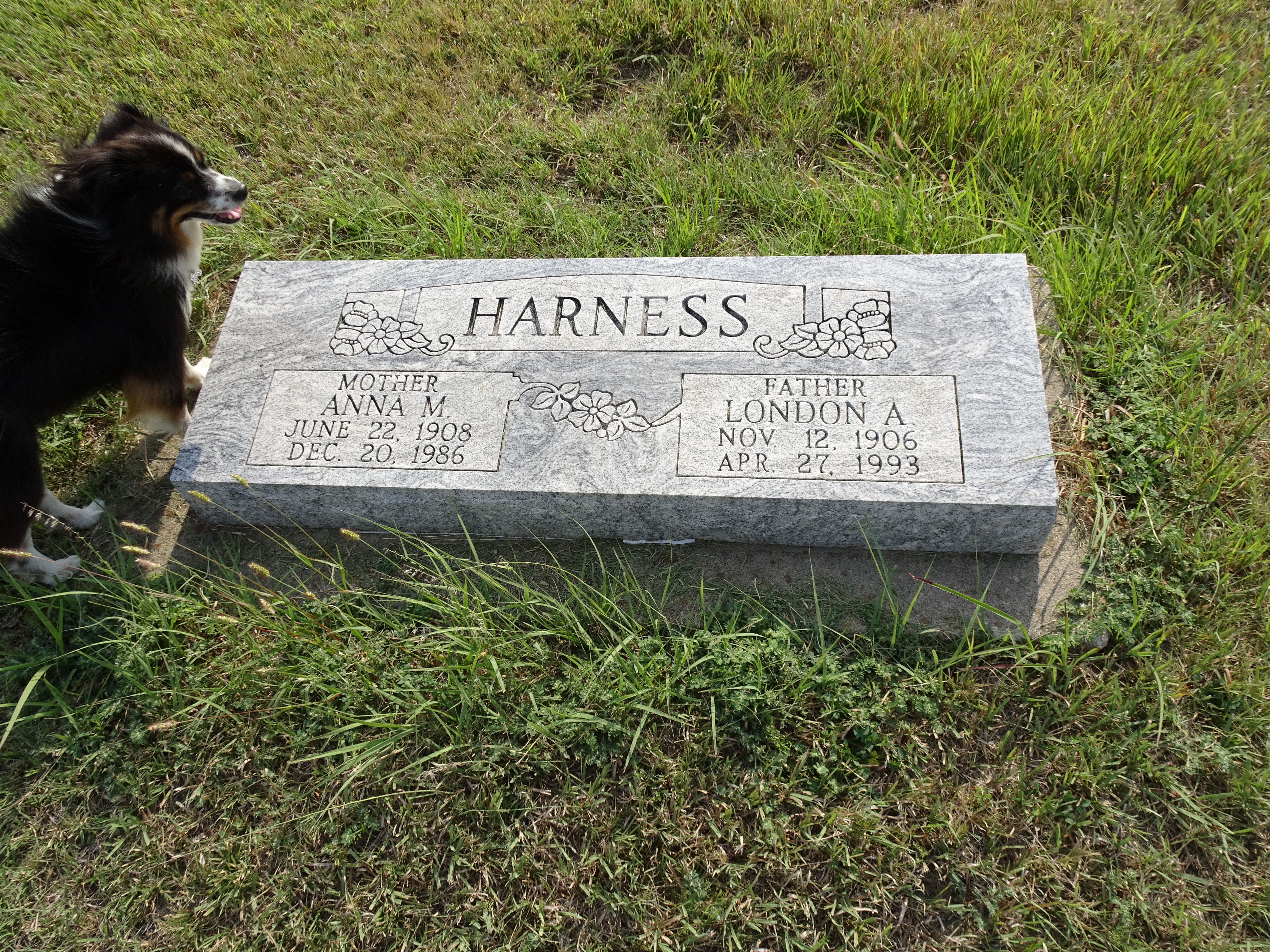
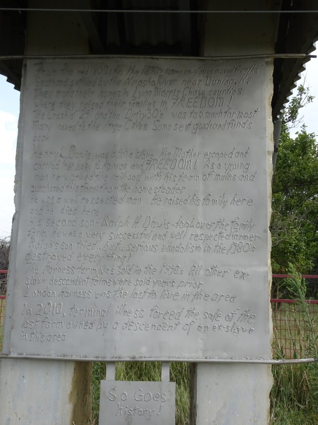
Landon Harness, last resident to be buried in Dunlap Black CemeteryDSC02123

On a road that is seldom traveled I came across this monument.  A beautiful tribute to a freedman who homestead this land.  Here is a link about Mr. Davis and his monument to his family.

http://www.robinvanauken.com/a-monument-to-exodusters/

DSC02134 DSC02125

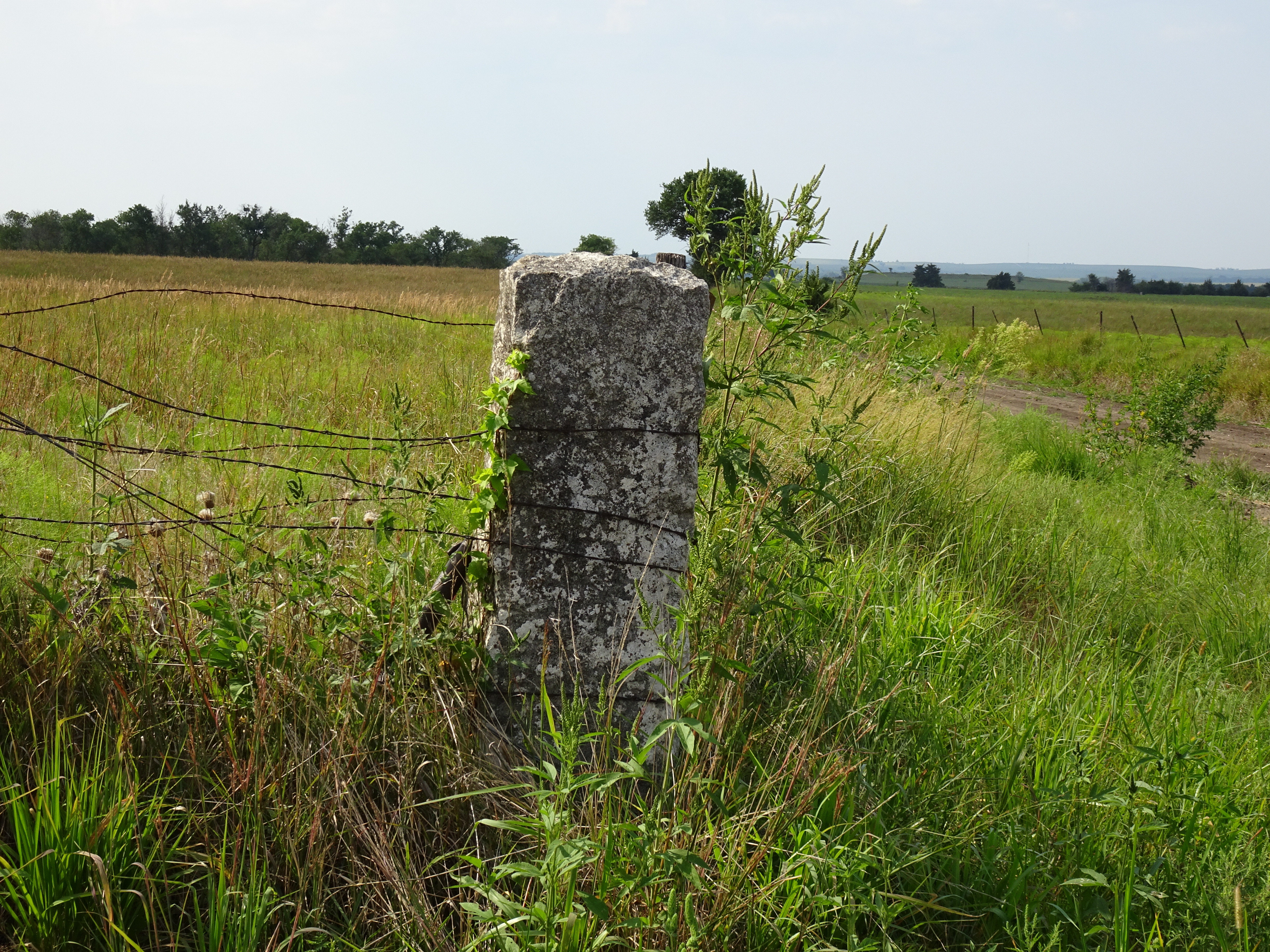
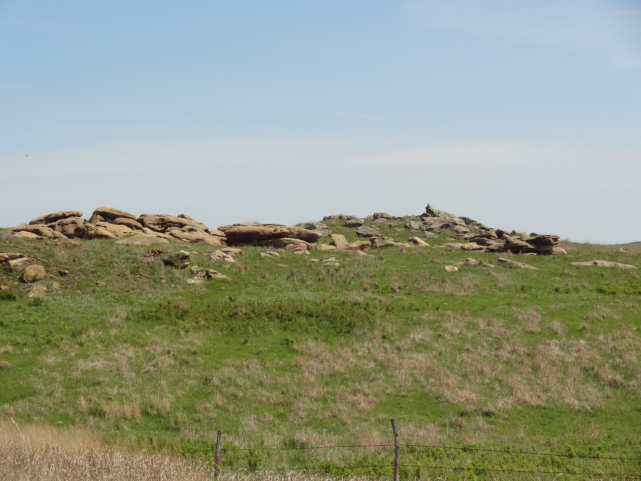
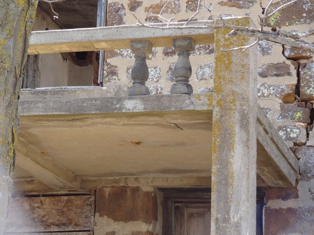
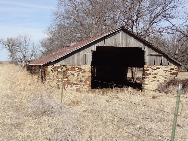
Massive native stone cornerpost

DSC02136

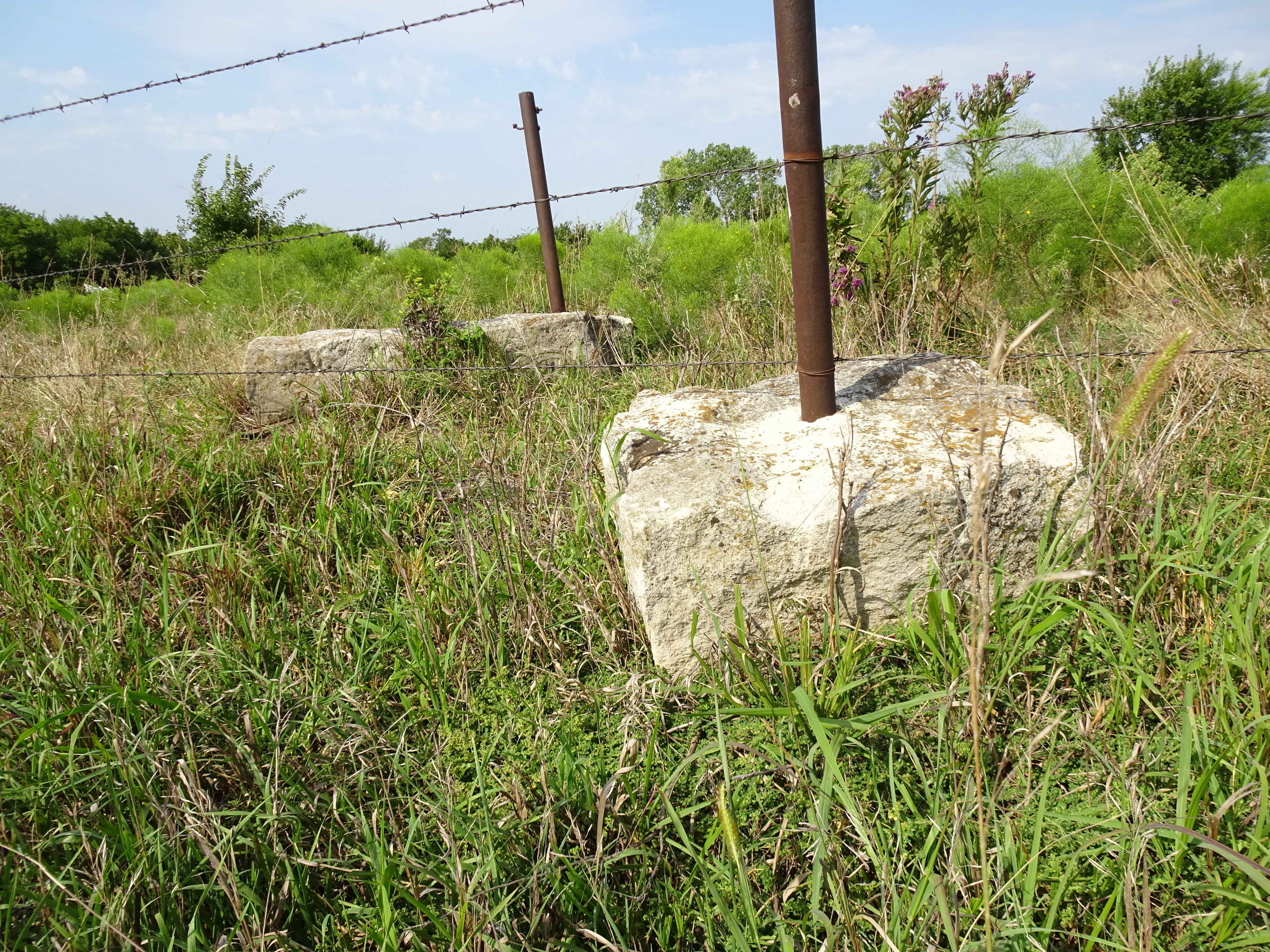
The ground is so rocky that they drilled holes in the rocks to set the posts.

DSC02133


Santa Fe Trail, Morris County, KS

Beautiful church and cemetery outside of Herington, KS

St. John’s Lutheran Church

DSC01405

DSC01409

Located along the Santa Fe trail

As I traveled along the Trail, I was amazed at the beauty of the lush grass land of the Flint Hills.  I was also thankful that my “buggy” had air conditioning as it was in the upper 90’s.

Lost Springs, KS

DSC01420

Burdick

The Santa Fe trail passed approximately 3 miles north of Burdick.  Know as “Six Mile State Station” it was needed on the trail after the station at Diamond Springs was destroyed by  Missouri Bushwackers in 1863.  Burdick was settled in 1880, located on the Atchinson Topeka and Santa Fe Railroad.  The line has been removed but the railroad has not abandoned the right of way.

DSC01427

DSC01431

DSC01437

Diamond Springs

Diamond Springs know as the “Diamond of the Plains” along the Santa Fe Trail, due to the prairie fountain that was of high quality water.  The spring now rises in a concrete cistern and is piped to a nearby stock tank on the Diamond Spring Ranch.

DSC01440

DSC01443

DSC01454

DSC01453

Continuing south from Diamond Springs is Hymer Station along the abandoned train line

DSC01458

DSC01461

This beautiful bridge did not withstand the flooding this year

DSC01465

My lunch plans were changed as the Ad Astra in Strong City is only open Friday, Saturday and Sunday.  Went to the Grand Central Hotel and Grill in Cottonwood Falls and discovered another wonder place to eat in Small Town Kansas.  The rooms in the Hotel are named after local ranches and look very comfortable.  Pet friendly too….Wylie!!

DSC01468DSC01113

Strong City

DSC01476


Dickinson County, KS


Cemetery and Church near Holland, KS

DSC01339


DSC01340


Navarre, KS

DSC01342

DSC01344


Woodbine, KS

DSC01345

DSC01346

DSC01347

DSC01348

DSC01350

DSC01351


Pearl, KS

DSC01354


Barn and abandoned farms near Chapman, KS

DSC01357

DSC01358

DSC01359_edited-1


Enterprise, KS

DSC01360


Patriotic silo near Abilene, KS

DSC01366


Beaumont Hotel, Kansas and Flint Hills along 177

The Beaumont Hotel is located in Beaumont, KS in Butler County, KS. The hotel was built in 1879 as a railroad hotel.  Across the street from the hotel is a wooden 1885 Frisco water tower,  once used to service steam locomotives, one of the last remaining water tower of its kind in the US.  In the 1940’s business men would land their planes on Main Street to check their cattle.  The hotel purchased some land on the east side of town in 1953  and put in a grass landing strip.  Pilots now taxi up Main Street to park at the bent prop parking lot.  Cars must yield to aircraft!DSC01079

DSC01081


DSC01077DSC01084

This is a day trip that I will take again.  It was such a cloudy, foggy, drizzly day.  Just south of Beaumont is the Elk River Wind Project.  There are 150 windmills situated on 8,000 acres.  I couldn’t see any of them.

DSC01085

I think I will take another road!!!  DSC01087

DSC01088

DSC01090 DSC01093

A couple of wild horses along the road between Rosalia and Cassoday.  There is a herd of 2000 wild horses just to the south of Cassoday.

DSC01100

DSC01102

Matfield Station, Matfield Green, KS  is a former railroad bunkhouse that has been converted into a lodge.

DSC01104DSC01107


DSC01110

Cottonwood Falls, KS

DSC01113

DSC01115

Cottonwood Falls and Strong City, KS are only seperated by a couple of miles.  When you are in this area you have to stop at the Ad Astra restaurant.  Such a great place!!!!


Evening Walk

I enjoy driving to an isolated road for our walks.  Here’s what we came across yesterday.

DSC01026

DSC01027

DSC01030

I don’t know what type of snake this is, to me they are all anacondas!!

DSC01036

DSC01037

DSC01021

We have enjoyed seeing yellow headed blackbirds at our bird feeder.  (Luckily the snake isn’t in our yard!)

Carlton, KS and the hills South

DSC00970

DSC00977_edited-1

DSC00975

This is the kind of road that I like to explore, off the beaten path.

DSC01016

DSC01019

DSC00982 DSC00984 DSC00986

DSC00990 DSC00995 DSC01001

Prairie Flowers

I just found an app for the iphone and will hopefully be able to identify wildflowers, Wildflowers of the Great Plains.


DSC00997

DSC00999

DSC01012

DSC01011

Owl on the chimney

DSC01003

DSC01007

Old chicken coop

DSC01009


Saline and E. Ellsworth County, KS

.

DSC00615 DSC00614

DSC00625 DSC00626 DSC00620